
File:South Africa late19thC map.png
Saizi ya chakuona ichi: 725 × 600 pixels. Mu misani inyake: 290 × 240 pixels | 581 × 480 pixels | 1,000 × 827 pixels.
Chinthu cha kwenekuko (1,000 × 827 pixels, file size: 49 KB, MIME type: image/png)

|
This locator map image could be re-created using vector graphics as an SVG file. This has several advantages; see Commons:Media for cleanup for more information. If an SVG form of this image is available, please upload it and afterwards replace this template with
{{vector version available|new image name}}.
It is recommended to name the SVG file “South Africa late19thC map.svg”—then the template Vector version available (or Vva) does not need the new image name parameter. |
Mwakudumula
| Malongosolelo |
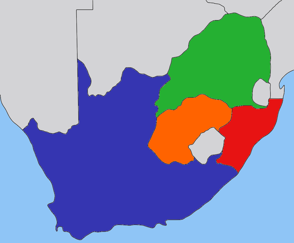
Map of the South Africa in the beginning 1900s, with provinces recoloured in the GIMP. |
| Siku | |
| Ukaboni | based on image:Transvaal_map.png by User:Dewet, based on work by User:Messhermit |
| Mlembi | Self |
| Chilolezo (Kugwiliskaso ntchito ichi) |
CC-BY-SA-2.5 |
| Other versions | Other province maps based on the same work: Cape Colony, Transvaal, Natal Colony, Orange Free State |
Chilolezo
This file is licensed under the Creative Commons Attribution-Share Alike 2.5 Generic license.
- Ndimwe ŵakuzomelezgeka:
- kugaŵa – kuti mutandazge, kugaŵa na kusintha ntchito
- kusazga – kusintha chito iyi
- Pa malango ghakulondezga agha:
- Viyambilo vya kuchita – Mukwenela kupeleka malumbo ghawemi, kupeleka linki yakutyonda ku chilolezo, kweneso yowoyaniso pala vinyake vyasintha. Mukwenela kuchita nthena mwakwenelela, kwambula kujikhalila khonde.
- mwa kugaŵana – Pala mwasazga panji mwasintha chinthu, mukwenela kuchitandazga
Mbili ya chinthu
Dofyani pa siku/nyengo kuti muone umo vikaonekela pa nyengo iyo.
| Siku/Nyengo | Kachithuzi | Vipimo | Mgwiliski | Ganizo | |
|---|---|---|---|---|---|
| sono | 21:47, 30 Ogasiti 2008 | | 1,000 × 827 (49 KB) | JasonAQuest | {{ShouldBeSVG|map}} == Summary == {{Information| |Description=Map of the South Africa in the late 1800s, with provinces recoloured in the GIMP. |Source=based on image:Transvaal_map.png by User:Dewet, based on wor |
Magwiliskilo ntchito
The following page uses this file:
Umo chinthu chagwiliskikila ntchito
Ma wiki ghanyake agho ghakugwiliska ichi:
- Magwiliskilo pa ca.wikipedia.org
- Magwiliskilo pa en.wikipedia.org
- Magwiliskilo pa es.wikipedia.org
- Magwiliskilo pa fr.wikipedia.org
- Magwiliskilo pa he.wikipedia.org
- Magwiliskilo pa it.wikipedia.org
- Magwiliskilo pa ja.wikipedia.org
- Magwiliskilo pa ka.wikipedia.org
- Magwiliskilo pa ko.wikipedia.org
- Magwiliskilo pa ro.wikipedia.org
- Magwiliskilo pa sh.wikipedia.org
- Magwiliskilo pa sr.wikipedia.org
- Magwiliskilo pa ta.wikipedia.org
- Magwiliskilo pa zh-min-nan.wikipedia.org