
File:World location map (equirectangular 180).svg

Size of this PNG preview of this SVG file: 800 × 400 pixels. Mu misani inyake: 320 × 160 pixels | 640 × 320 pixels | 1,024 × 512 pixels | 1,280 × 640 pixels | 2,560 × 1,279 pixels | 2,521 × 1,260 pixels.
Chinthu cha kwenekuko (SVG file, nominally 2,521 × 1,260 pixels, file size: 4.19 MB)
.svg)
Mwakudumula
| Malongosolelo |
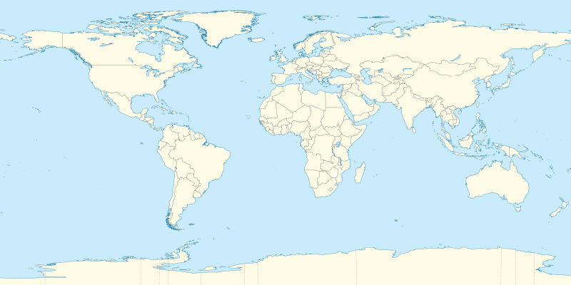
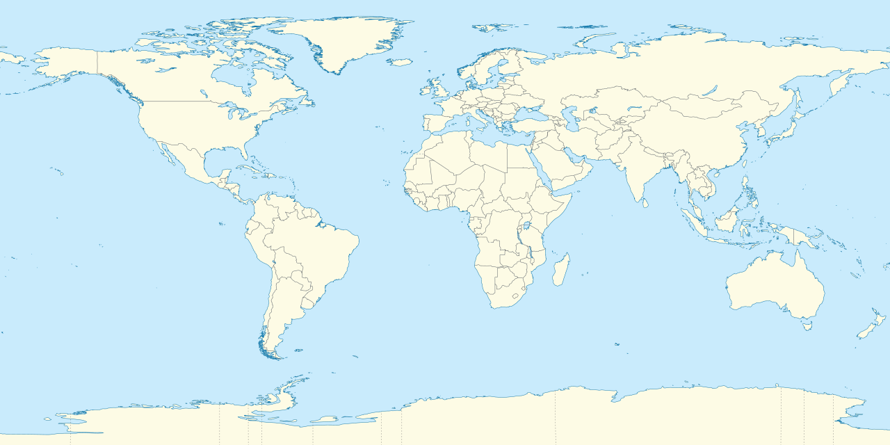
Deutsch: Positionskarte der Welt. Plattkarte von 180° Ost bis 180° West und von 90° Nord bis 90° Süd
English: Location map of the world. Equirectangular projection from 180°E to 180°W and from 90°S to 90°N |
| Siku | |
| Ukaboni |
Chinthu chane This SVG _?_ includes elements that have been taken or adapted from this _?_: |
| Mlembi |
TUBS |
| Other versions | Derivative works of this file: Weltumrundung Elly Beinhorn 1932.png |
| SVG genesis | This oversized W3C-invalid world map was created with Adobe Illustrator by TUBS. |
Chilolezo
I, the copyright holder of this work, hereby publish it under the following licenses:
Chinthu ichi ntchakuzomelezgeka na Creative Commons Attribution-Share Alike 3.0 Unported license.
- Ndimwe ŵakuzomelezgeka:
- kugaŵa – kuti mutandazge, kugaŵa na kusintha ntchito
- kusazga – kusintha chito iyi
- Pa malango ghakulondezga agha:
- Viyambilo vya kuchita – Mukwenela kupeleka malumbo ghawemi, kupeleka linki yakutyonda ku chilolezo, kweneso yowoyaniso pala vinyake vyasintha. Mukwenela kuchita nthena mwakwenelela, kwambula kujikhalila khonde.
- mwa kugaŵana – Pala mwasazga panji mwasintha chinthu, mukwenela kuchitandazga

|
Chilolezo ntchakupelekeka pakupanga copy, kutandazga panj kusintha na malango gha GNU Free Documentation License, Version 1.2 or any later version published by the Free Software Foundation; with no Invariant Sections, no Front-Cover Texts, and no Back-Cover Texts. A copy of the license is included in the section entitled GNU Free Documentation License. |
You may select the license of your choice.

|
I'd greatly appreciate, that you attribute this media file to Wikimedia Commons, if used outside Wikipedia or Commons. For use in publications such as books, newspapers, blogs, websites, please insert here the following line:
|
.svg)
Mbili ya chinthu
Dofyani pa siku/nyengo kuti muone umo vikaonekela pa nyengo iyo.
| Siku/Nyengo | Kachithuzi | Vipimo | Mgwiliski | Ganizo | |
|---|---|---|---|---|---|
| sono | 19:31, 9 Sekutembala 2011 | | 2,521 × 1,260 (4.19 MB) | TUBS | {{Information |Description=={{de|Positionskarte der Welt. Plattkarte von 180° Ost bis 180° West und von 90° Nord bis 90° Süd }} {{en|Location map of the world. [[:en:Equirectangular projection|Equirectan |
Magwiliskilo ntchito
The following 18 pages use this file:
- London
- Template:Infobox aerial lift line
- Template:Infobox aerial lift line/doc
- Template:Infobox ancient site
- Template:Infobox ancient site/doc
- Template:Infobox artwork
- Template:Infobox artwork/doc
- Template:Infobox artwork/wikidata
- Template:Infobox artwork/wikidata/doc
- Template:Infobox building
- Template:Infobox building/doc
- Template:Infobox building/sandbox
- Template:Infobox business park
- Template:Infobox business park/doc
- Template:Infobox church
- Template:Infobox church/doc
- Template:Infobox protected area
- Template:Infobox protected area/doc
Umo chinthu chagwiliskikila ntchito
Ma wiki ghanyake agho ghakugwiliska ichi:
- Magwiliskilo pa af.wikipedia.org
- Etna
- Groep van 20
- Teide
- Vesuvius
- Mauna Loa
- Nyiragongo
- Sjabloon:Liggingkaart Aarde
- Sjabloon:Dekadevulkane-kaart
- Dekadevulkaan
- Taalvulkaan
- Korjakski
- Awatsjinski
- Sjabloon:Dekadevulkane-kaart/doc
- Ulawun
- Merapi
- Unzen
- Santorini-kaldera
- Sakurajima
- Santa María (vulkaan)
- Rainier (berg)
- Galeras
- Volcán de Colima
- Magwiliskilo pa als.wikipedia.org
- Vorlage:Positionskarte Polen
- Vorlage:Positionskarte Schweden
- Vorlage:Positionskarte Frankreich
- Vorlage:Positionskarte/Info
- Vorlage:Positionskarte Deutschland
- Vorlage:Positionskarte Liechtenstein
- Vorlage:Positionskarte Schweiz
- Vorlage:Positionskarte Deutschland Baden-Württemberg
- Vorlage:Positionskarte Italien
- Vorlage:Positionskarte Ungarn
- Vorlage:Positionskarte Deutschland Bayern
- Vorlage:Positionskarte Österreich
- Vorlage:Positionskarte Albanien
- Vorlage:Positionskarte Kroatien
- Vorlage:Positionskarte Israel
- Vorlage:Positionskarte Ukraine
- Vorlage:Positionskarte Kenia
- Vorlage:Positionskarte Nigeria
- Vorlage:Positionskarte Belgien
- Vorlage:Positionskarte Erde
- Vorlage:Positionskarte Papua-Neuguinea
- Vorlage:Positionskarte Schweiz Aargau
- Vorlage:Positionskarte Estland
- Vorlage:Positionskarte Ägypten
- Vorlage:Positionskarte Bahrain
- Vorlage:Positionskarte Elfenbeinküste
- Vorlage:Positionskarte Türkei
- Vorlage:Positionskarte Griechenland
Wonani magwiliskilo ghanandi ghapa charu gha chinthu ichi.
.svg)
.svg)