
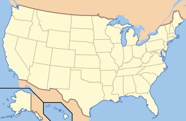
File:US Locator Blank.svg

Size of this PNG preview of this SVG file: 286 × 186 pixels. Mu misani inyake: 320 × 208 pixels | 640 × 416 pixels | 1,024 × 666 pixels | 1,280 × 832 pixels | 2,560 × 1,665 pixels.
Chinthu cha kwenekuko (SVG file, nominally 286 × 186 pixels, file size: 137 KB)
Clickable version
| Malongosolelo | This image is abstracted from Image:Map_of_USA_with_state_names.svg (GFDL). | ||||||||
| Siku | |||||||||
| Ukaboni | based on Image:Map of USA without state names.svg | ||||||||
| Mlembi |
Originally uploaded English Wikipedia by en:User:Papayoung and en:User:Ilmari Karonen. Base versions this one is derived from: originally created by en:User:Wapcaplet |
||||||||
| Chilolezo (Kugwiliskaso ntchito ichi) |
|

| Object location | | View this and other nearby images on: OpenStreetMap |
|---|
| Annotations | This image is annotated: View the annotations at Commons |
Mbili ya chinthu
Dofyani pa siku/nyengo kuti muone umo vikaonekela pa nyengo iyo.
| Siku/Nyengo | Kachithuzi | Vipimo | Mgwiliski | Ganizo | |
|---|---|---|---|---|---|
| sono | 00:57, 21 Juni 2010 | | 286 × 186 (137 KB) | Ras67 | frame removed |
| 13:14, 5 Janyuwale 2007 |  | 286 × 186 (167 KB) | EDUCA33E | Rétablissement de la version précédente | |
| 13:07, 5 Janyuwale 2007 |  | 286 × 186 (97 KB) | EDUCA33E | (same but 98 ko) | |
| 07:58, 6 Malichi 2006 |  | 286 × 186 (167 KB) | Itsmine | == Summary == This image is abstracted from Image:Map_of_USA_with_state_names.svg (GFDL). Originally uploaded English Wikipedia by en:User:Papayoung and en:User:Ilmari Karonen. <div style="border: 1px solid #F66; padding: 1em;">'''Please |
Magwiliskilo ntchito
The following 2 pages use this file:
Umo chinthu chagwiliskikila ntchito
Ma wiki ghanyake agho ghakugwiliska ichi:
- Magwiliskilo pa ab.wikipedia.org
- Magwiliskilo pa af.wikipedia.org
- Magwiliskilo pa ar.wikipedia.org
- متنزه يلوستون الوطني
- متنزه يوسيميتي الوطني
- متنزه صهيون الوطني
- قالب:Superimpose
- قالب:Superimpose/شرح
- كهف الماموث
- حديقة جبل رينييه
- متنزه وادي الموت الوطني
- قالب:صندوق معلومات منطقة محمية/شرح
- قالب:صندوق معلومات منطقة محمية
- قائمة حدائق الولايات المتحدة الوطنية
- حديقة أكاديا الوطنية
- حديقة الأقواس الوطنية
- حديقة أمريكان ساموا الوطنية
- حديقة بادلاندز الوطنية
- الحديقة الوطنية الجليدية
- محمية ومتنزه بوابات القطب الشمالي الوطنية
- متنزه ومحمية رانجيل-سانت إلياس الطبيعية الوطنية
- برايس كانيون
- محمية ميسا فيردي الوطنية
- متنزه الأخدود العظيم الوطني
- حديقة إيفرغلاديس الوطنية
- حدائق ريدوود الوطنية والحكومية
- حديقة جبال غريت سموكي الوطنية
- حديقة كهوف كارلسباد الوطنية
- حديقة براكين هاواي الوطنية
- متنزه غراند تيتون الوطني
- المتنزه الأولمبي الوطني
- حديقة هاليكالا الوطنية
- حديقة شجرة جوشوا الوطنية
- قالب:المتنزهات الوطنية في خريطة الولايات المتحدة الأمريكية
- قالب:الحدائق الوطنية في الولايات المتحدة
- قالب:صندوق معلومات منطقة محمية/ملعب
- حديقة بيغ بند الوطنية
- منتزه ساغوارو الوطني
- حديقة بيسكين الوطنية
- حديقة غنيسون الأسود
- منتزه شمال كاسكيدز الوطني
- حديقة كهف الرياح الوطنية
- متنزه جزر القناة الوطني
- متنزه غريت باسين الوطني
- متنزه كانيونلاندز الوطني
- حديقة شيناندوا الوطنية
- خليج ومحمية غليسر الوطنية
- حديقة فوياجرز الوطنية
- حديقة هوت سبرينغس الوطنية
Wonani magwiliskilo ghanandi ghapa charu gha chinthu ichi.