
File:USA Tennessee location map.svg

Size of this PNG preview of this SVG file: 800 × 475 pixels. Mu misani inyake: 320 × 190 pixels | 640 × 380 pixels | 1,024 × 608 pixels | 1,280 × 759 pixels | 2,560 × 1,519 pixels | 1,800 × 1,068 pixels.
Chinthu cha kwenekuko (SVG file, nominally 1,800 × 1,068 pixels, file size: 1.16 MB)
Mwakudumula
| Malongosolelo |
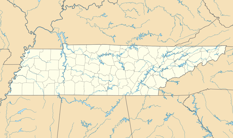
Quadratische Plattkarte, N-S-Streckung 120.0 %. Geographische Begrenzung der Karte:
Equirectangular projection, N/S stretching 120.0 %. Geographic limits of the map:
|
| Siku | |
| Ukaboni | Chinthu chane |
| Mlembi | Alexrk |
| Other versions |
Derivative works of this file: BMO Harris Bank 2012-06.png Derivative works of this file: |

|
This map has been made or improved in the German Kartenwerkstatt (Map Lab). You can propose maps to improve as well.
|
Chilolezo
I, the copyright holder of this work, hereby publish it under the following licenses:

|
Chilolezo ntchakupelekeka pakupanga copy, kutandazga panj kusintha na malango gha GNU Free Documentation License, Version 1.2 or any later version published by the Free Software Foundation; with no Invariant Sections, no Front-Cover Texts, and no Back-Cover Texts. A copy of the license is included in the section entitled GNU Free Documentation License. |
This file is licensed under the Creative Commons Attribution 3.0 Unported license.
- Ndimwe ŵakuzomelezgeka:
- kugaŵa – kuti mutandazge, kugaŵa na kusintha ntchito
- kusazga – kusintha chito iyi
- Pa malango ghakulondezga agha:
- Viyambilo vya kuchita – Mukwenela kupeleka malumbo ghawemi, kupeleka linki yakutyonda ku chilolezo, kweneso yowoyaniso pala vinyake vyasintha. Mukwenela kuchita nthena mwakwenelela, kwambula kujikhalila khonde.
You may select the license of your choice.
Mbili ya chinthu
Dofyani pa siku/nyengo kuti muone umo vikaonekela pa nyengo iyo.
| Siku/Nyengo | Kachithuzi | Vipimo | Mgwiliski | Ganizo | |
|---|---|---|---|---|---|
| sono | 10:17, 20 Juni 2009 | | 1,800 × 1,068 (1.16 MB) | Alexrk2 | page ratio, water bodies |
| 16:00, 13 Juni 2009 | 1,500 × 415 (246 KB) | Alexrk | == Beschreibung == {{Information |Description= {{de|Positionskarte von Tennessee, USA}} Quadratische Plattkarte, N-S-Streckung 120.0 %. Geographische Begrenzung der Karte: * N: 36.9° N * S: 34.8° N * W: 90.5° W * O: 81.4° |
Magwiliskilo ntchito
The following 2 pages use this file:
Umo chinthu chagwiliskikila ntchito
Ma wiki ghanyake agho ghakugwiliska ichi:
- Magwiliskilo pa af.wikipedia.org
- Magwiliskilo pa an.wikipedia.org
- Magwiliskilo pa ar.wikipedia.org
- Magwiliskilo pa azb.wikipedia.org
- آرکیدیا، تنسی
- کازبی، تنسی
- داردن، تنسی
- ترید، تنسی
- دل ریو، تنسی
- لنکستر، تنسی
- اپلتن، تنسی
- الموود، تنسی
- الندیل، تنسی
- باتلر، تنسی
- برانزویک، تنسی
- بلفاست، تنسی
- بوئنا ویستا، تنسی
- بیق راک، تنسی
- بیکرویل، تنسی
- بیکول، تنسی
- چستنات هیل، تنسی
- دراموندز، تنسی
- فراترویل، تنسی
- فروتویل، تنسی
- فری هیل، تنسی
- کاریتون، تنسی
- کراکت میلز، تنسی
- کونکورد، تنسی
- نیملس، تنسی
- هابرشام، تنسی
- هالز، کراسرود، تنسی
- همپتون، تنسی
- هیلتاون، تنسی
- یام یام، تنسی
- قریمزلی، تنسی
- ویرز ولی، تنسی
- بلکمن، تنسی
- آفتون، تنسی
- سویت لیپس، تنسی
- مورفرزبورو، تنسی
- تافت، تنسی
- آلدر برانچ، تنسی
- تالبوت، تنسی
- تالاسی، تنسی
- کوتونتوون، تنسی
- آلکساندریا، تنسی
- والکرتوون، تنسی
- والاند، تنسی
- والینق، تنسی
Wonani magwiliskilo ghanandi ghapa charu gha chinthu ichi.