
File:USA Pennsylvania location map.svg

Size of this PNG preview of this SVG file: 800 × 536 pixels. Mu misani inyake: 320 × 214 pixels | 640 × 429 pixels | 1,024 × 686 pixels | 1,280 × 858 pixels | 2,560 × 1,716 pixels | 1,201 × 805 pixels.
Chinthu cha kwenekuko (SVG file, nominally 1,201 × 805 pixels, file size: 146 KB)
Mwakudumula
| Malongosolelo |
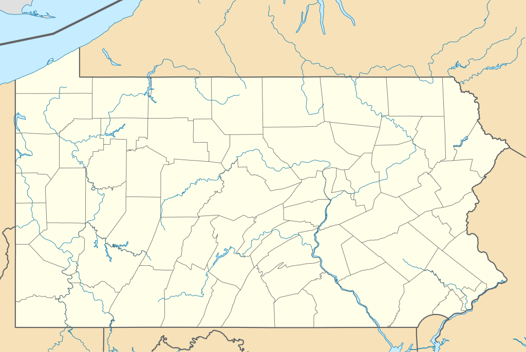
Quadratische Plattkarte, N-S-Streckung 130.0 %. Geographische Begrenzung der Karte:
Equirectangular projection, N/S stretching 130.0 %. Geographic limits of the map:
|
||
| Siku | |||
| Ukaboni | Chinthu chane | ||
| Mlembi | Alexrk2 | ||
| Other versions |
Derivative works of this file: |
||
| SVG genesis |
|

Chilolezo
I, the copyright holder of this work, hereby publish it under the following licenses:

|
Chilolezo ntchakupelekeka pakupanga copy, kutandazga panj kusintha na malango gha GNU Free Documentation License, Version 1.2 or any later version published by the Free Software Foundation; with no Invariant Sections, no Front-Cover Texts, and no Back-Cover Texts. A copy of the license is included in the section entitled GNU Free Documentation License. |
This file is licensed under the Creative Commons Attribution 3.0 Unported license.
- Ndimwe ŵakuzomelezgeka:
- kugaŵa – kuti mutandazge, kugaŵa na kusintha ntchito
- kusazga – kusintha chito iyi
- Pa malango ghakulondezga agha:
- Viyambilo vya kuchita – Mukwenela kupeleka malumbo ghawemi, kupeleka linki yakutyonda ku chilolezo, kweneso yowoyaniso pala vinyake vyasintha. Mukwenela kuchita nthena mwakwenelela, kwambula kujikhalila khonde.
You may select the license of your choice.
Mbili ya chinthu
Dofyani pa siku/nyengo kuti muone umo vikaonekela pa nyengo iyo.
| Siku/Nyengo | Kachithuzi | Vipimo | Mgwiliski | Ganizo | |
|---|---|---|---|---|---|
| sono | 23:51, 9 Malichi 2019 | | 1,201 × 805 (146 KB) | AndreyKva | Optimized. |
| 11:11, 5 Julayi 2009 |  | 1,201 × 805 (420 KB) | Alexrk2 | == Beschreibung == {{Information |Description= {{de|Positionskarte von Pennsylvania, USA}} Quadratische Plattkarte, N-S-Streckung 130.0 %. Geographische Begrenzung der Karte: * N: 42.7° N * S: 39.5° N * W: 80.7° W * O: |
Magwiliskilo ntchito
Palije majani agho ghogwiliska chinthu ichi.
Umo chinthu chagwiliskikila ntchito
Ma wiki ghanyake agho ghakugwiliska ichi:
- Magwiliskilo pa an.wikipedia.org
- Magwiliskilo pa ar.wikipedia.org
- Magwiliskilo pa ast.wikipedia.org
- Magwiliskilo pa azb.wikipedia.org
- آلتونا، پنسیلوانیا
- فارل، پنسیلوانیا
- واکسال، پنسیلوانیا
- سیلکورس، پنسیلوانیا
- استونراستون، پنسیلوانیا
- مکینزبرق، پنسیلوانیا
- رولاک، پنسیلوانیا
- ماشنون، پنسیلوانیا
- مسیاح کالج، پنسیلوانیا
- وست فیرویو، پنسیلوانیا
- وینهایتس، پنسیلوانیا
- بلویل، پنسیلوانیا
- نئومی، پنسیلوانیا
- سینت مایکل، پنسیلوانیا
- قلن لیون، پنسیلوانیا
- سنتمایکل سیدمن، پنسیلوانیا
- آپر اکستر، پنسیلوانیا
- شیپینزبرق یونیورسیتی، پنسیلوانیا
- لاول-لوکاستدیل، پنسیلوانیا
- الیم، پنسیلوانیا
- استونیبروک ویلشایر، پنسیلوانیا
- اوک هیلز، پنسیلوانیا
- لمونت فرنس، پنسیلوانیا
- هاملز وارف، پنسیلوانیا
- آیولا، پنسیلوانیا
- کریمر، پنسیلوانیا
- ویدویل، پنسیلوانیا
- مانت ایقل، پنسیلوانیا
- ماریون، پنسیلوانیا
- سندهیل، پنسیلوانیا
- ایست برویک، پنسیلوانیا
- لیک وینونا، پنسیلوانیا
- سیدمن، پنسیلوانیا
- لاتیمر، پنسیلوانیا
- لایت استریت، پنسیلوانیا
- ایست واترفورد، پنسیلوانیا
- مککانلزتاون، پنسیلوانیا
- سالیکس، پنسیلوانیا
Wonani magwiliskilo ghanandi ghapa charu gha chinthu ichi.