
File:USA Ohio location map.svg

Size of this PNG preview of this SVG file: 505 × 600 pixels. Mu misani inyake: 202 × 240 pixels | 404 × 480 pixels | 646 × 768 pixels | 862 × 1,024 pixels | 1,724 × 2,048 pixels | 1,010 × 1,200 pixels.
Chinthu cha kwenekuko (SVG file, nominally 1,010 × 1,200 pixels, file size: 455 KB)
Mwakudumula
| Malongosolelo |
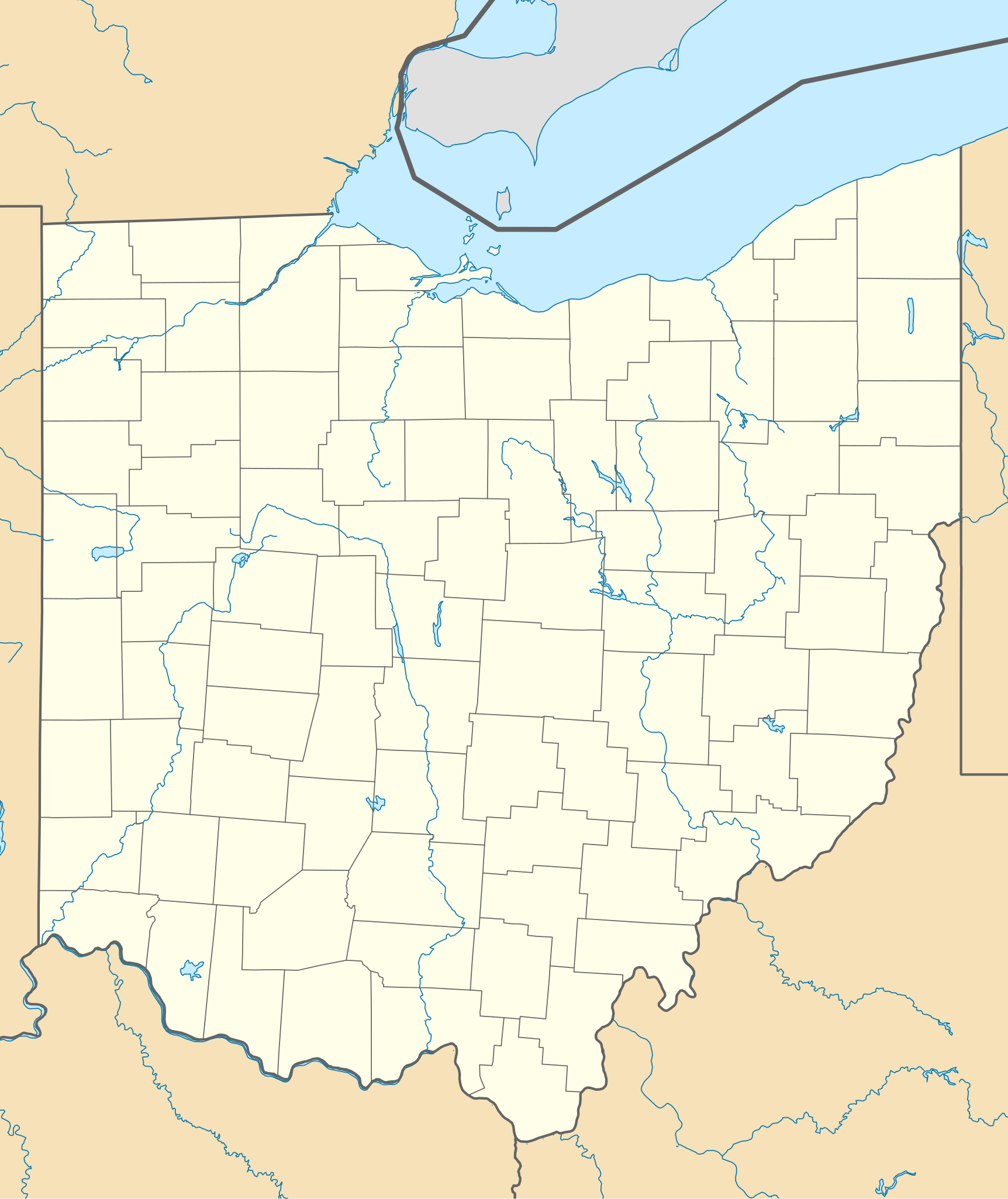
Quadratische Plattkarte, N-S-Streckung 130.0 %. Geographische Begrenzung der Karte:
Equirectangular projection, N/S stretching 130.0 %. Geographic limits of the map:
|
| Siku | |
| Ukaboni | Chinthu chane |
| Mlembi | Alexrk2 |
| Other versions |
Derivative works of this file: BMO Harris Bank 2012-06.png Derivative works of this file: |

|
This map has been made or improved in the German Kartenwerkstatt (Map Lab). You can propose maps to improve as well.
|
Chilolezo
I, the copyright holder of this work, hereby publish it under the following licenses:

|
Chilolezo ntchakupelekeka pakupanga copy, kutandazga panj kusintha na malango gha GNU Free Documentation License, Version 1.2 or any later version published by the Free Software Foundation; with no Invariant Sections, no Front-Cover Texts, and no Back-Cover Texts. A copy of the license is included in the section entitled GNU Free Documentation License. |
This file is licensed under the Creative Commons Attribution 3.0 Unported license.
- Ndimwe ŵakuzomelezgeka:
- kugaŵa – kuti mutandazge, kugaŵa na kusintha ntchito
- kusazga – kusintha chito iyi
- Pa malango ghakulondezga agha:
- Viyambilo vya kuchita – Mukwenela kupeleka malumbo ghawemi, kupeleka linki yakutyonda ku chilolezo, kweneso yowoyaniso pala vinyake vyasintha. Mukwenela kuchita nthena mwakwenelela, kwambula kujikhalila khonde.
You may select the license of your choice.
Mbili ya chinthu
Dofyani pa siku/nyengo kuti muone umo vikaonekela pa nyengo iyo.
| Siku/Nyengo | Kachithuzi | Vipimo | Mgwiliski | Ganizo | |
|---|---|---|---|---|---|
| sono | 19:16, 26 Juni 2009 | | 1,010 × 1,200 (455 KB) | Alexrk2 | == Beschreibung == {{Information |Description= {{de|Positionskarte von Ohio, USA}} Quadratische Plattkarte, N-S-Streckung 130.0 %. Geographische Begrenzung der Karte: * N: 42.5° N * S: 38.2° N * W: 85.0° W * O: 80.3° W {{en|Lo |
Magwiliskilo ntchito
The following 3 pages use this file:
Umo chinthu chagwiliskikila ntchito
Ma wiki ghanyake agho ghakugwiliska ichi:
- Magwiliskilo pa af.wikipedia.org
- Magwiliskilo pa an.wikipedia.org
- Magwiliskilo pa ar.wikipedia.org
- Magwiliskilo pa azb.wikipedia.org
- کنت، اوهایو
- اکران، اوهایو
- همیلتون، اوهایو
- الیریا، اوهایو
- آکسفورد، اوهایو
- راونا، اوهایو
- اورورا، اوهایو
- استریتسبورو، اوهایو
- پنکوستبرق، اوهایو
- کاناقا، اوهایو
- وایتس لندینق، اوهایو
- لیک توماهاک، اوهایو
- لیک باکهورن، اوهایو
- ویلیامزدیل، اوهایو
- کریستال راک، اوهایو
- سینمون لیک، اوهایو
- پلینویل، اوهایو
- بیولا بیچ، اوهایو
- نیو رم، اوهایو
- هاید اوی هیلز، اوهایو
- پاتری ادیشن، اوهایو
- دولا، اوهایو
- آرنولد، اوهایو
- کوک، اوهایو
- هومورت، اوهایو
- لیک لورلی، اوهایو
- فزنت ران، اوهایو
- مورقندیل، اوهایو
- والنات کریک، اوهایو
- مکینلی هایتس، اوهایو
- فور بریجز، اوهایو
- هالیدی لیکس، اوهایو
- وایتمنز قروو، اوهایو
- راکی فورک پوینت، اوهایو
- هایلند هالیدی، اوهایو
- لیک واینوکا، اوهایو
- لیک موهاک، اوهایو
- باتسم، اوهایو
- فلت راک، اوهایو
Wonani magwiliskilo ghanandi ghapa charu gha chinthu ichi.