
File:USA Michigan location map.svg

Size of this PNG preview of this SVG file: 533 × 600 pixels. Mu misani inyake: 213 × 240 pixels | 426 × 480 pixels | 682 × 768 pixels | 910 × 1,024 pixels | 1,819 × 2,048 pixels | 1,066 × 1,200 pixels.
Chinthu cha kwenekuko (SVG file, nominally 1,066 × 1,200 pixels, file size: 642 KB)
Mwakudumula
| Malongosolelo |
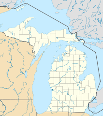
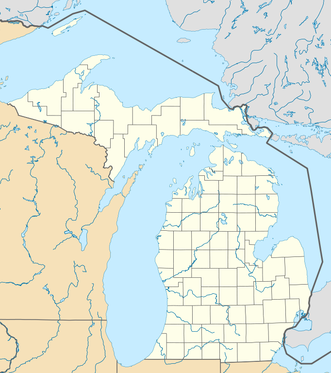
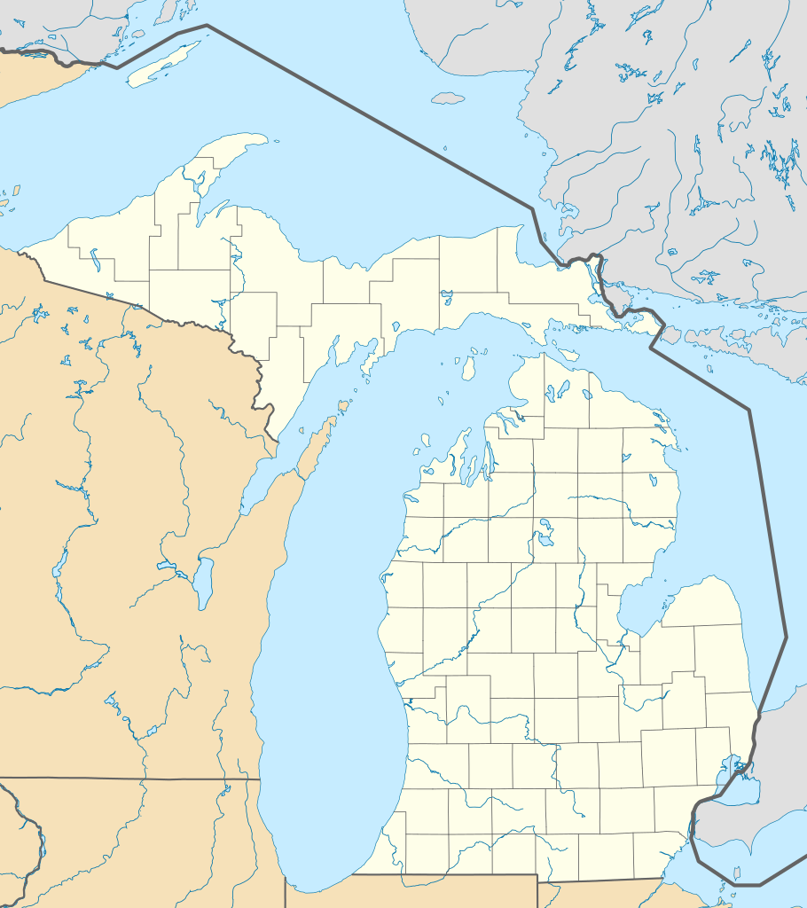
Quadratische Plattkarte, N-S-Streckung 140.0 %. Geographische Begrenzung der Karte:
Equirectangular projection, N/S stretching 140.0 %. Geographic limits of the map:
|
| Siku | |
| Ukaboni | Chinthu chane |
| Mlembi | Alexrk2 |
| Other versions |
Derivative works of this file: BMO Harris Bank 2012-06.png Derivative works of this file: |

|
This map has been made or improved in the German Kartenwerkstatt (Map Lab). You can propose maps to improve as well.
|
Chilolezo
I, the copyright holder of this work, hereby publish it under the following licenses:

|
Chilolezo ntchakupelekeka pakupanga copy, kutandazga panj kusintha na malango gha GNU Free Documentation License, Version 1.2 or any later version published by the Free Software Foundation; with no Invariant Sections, no Front-Cover Texts, and no Back-Cover Texts. A copy of the license is included in the section entitled GNU Free Documentation License. |
This file is licensed under the Creative Commons Attribution 3.0 Unported license.
- Ndimwe ŵakuzomelezgeka:
- kugaŵa – kuti mutandazge, kugaŵa na kusintha ntchito
- kusazga – kusintha chito iyi
- Pa malango ghakulondezga agha:
- Viyambilo vya kuchita – Mukwenela kupeleka malumbo ghawemi, kupeleka linki yakutyonda ku chilolezo, kweneso yowoyaniso pala vinyake vyasintha. Mukwenela kuchita nthena mwakwenelela, kwambula kujikhalila khonde.
You may select the license of your choice.
Mbili ya chinthu
Dofyani pa siku/nyengo kuti muone umo vikaonekela pa nyengo iyo.
| Siku/Nyengo | Kachithuzi | Vipimo | Mgwiliski | Ganizo | |
|---|---|---|---|---|---|
| sono | 16:41, 21 Juni 2009 | | 1,066 × 1,200 (642 KB) | Alexrk2 | Isle Royale |
| 11:39, 21 Juni 2009 |  | 1,066 × 1,200 (652 KB) | Alexrk2 | fixed borders | |
| 11:30, 21 Juni 2009 |  | 1,066 × 1,200 (660 KB) | Alexrk2 | water lines | |
| 11:21, 21 Juni 2009 |  | 1,066 × 1,200 (721 KB) | Alexrk2 | water lines | |
| 11:02, 21 Juni 2009 |  | 1,066 × 1,200 (830 KB) | Alexrk2 | simp water polygons | |
| 10:51, 21 Juni 2009 |  | 1,066 × 1,200 (840 KB) | Alexrk2 | == Beschreibung == {{Information |Description= {{de|Positionskarte von Michigan, USA}} Quadratische Plattkarte, N-S-Streckung 140.0 %. Geographische Begrenzung der Karte: * N: 48.5° N * S: 41.5° N * W: 90.6° W * O: 81.9° W |
Magwiliskilo ntchito
The following 2 pages use this file:
Umo chinthu chagwiliskikila ntchito
Ma wiki ghanyake agho ghakugwiliska ichi:
- Magwiliskilo pa an.wikipedia.org
- Magwiliskilo pa ar.wikipedia.org
- Magwiliskilo pa arz.wikipedia.org
- Magwiliskilo pa azb.wikipedia.org
- لنسینق، میشیقان
- هستینقز، میشیقان
- ان آربر، میشیقان
- سقینو، میشیقان
- دیربورن، میشیقان
- کلاوسون، میشیقان
- مارلت، میشیقان
- پینکنینق، میشیقان
- فریس تانشیپ، میشیقان
- بلویدیر تاونشیپ، میشیقان
- لاود تاونشیپ، میشیقان
- پرودنویل، میشیقان
- پیلقریم، میشیقان
- رابین قلن-ایندیانتاون، میشیقان
- مارنیسکو، میشیقان
- فرویو، میشیقان
- بارنز لیک-میلرز لیک، میشیقان
- هیکوری کورنرز، میشیقان
- پی پورت، میشیقان
- نوروود، میشیقان
- لیک ویکتوریا، میشیقان
- سینت جیمز، میشیقان
- بندون، میشیقان
- ایستپورت، میشیقان
- آیرونتون، میشیقان
- برودا تاونشیپ، میشیقان
- لیکس آو د نورت، میشیقان
- پردایس، میشیقان
- کرسکو، میشیقان
- اومنا، میشیقان
- هیقینز لیک، میشیقان
- بروس کراسینق، میشیقان
- فیتهورن، میشیقان
- زیبا، میشیقان
- وایت پاین، میشیقان
- منیستی لیک، میشیقان
- اسنوور، میشیقان
- جاسپر، میشیقان
- بردرن، میشیقان
Wonani magwiliskilo ghanandi ghapa charu gha chinthu ichi.