
File:South Africa Mpumalanga location map.svg

Size of this PNG preview of this SVG file: 579 × 599 pixels. Mu misani inyake: 232 × 240 pixels | 464 × 480 pixels | 742 × 768 pixels | 989 × 1,024 pixels | 1,979 × 2,048 pixels | 1,031 × 1,067 pixels.
Chinthu cha kwenekuko (SVG file, nominally 1,031 × 1,067 pixels, file size: 175 KB)
Mwakudumula
| Malongosolelo |
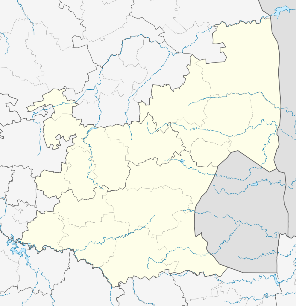
English: Location map of Mpumalanga
Equirectangular projection, N/S stretching 110%. Geographic limits of the map:
|
| Siku | |
| Ukaboni |
|
| Mlembi | Htonl |
| Chilolezo (Kugwiliskaso ntchito ichi) |
I, the copyright holder of this work, hereby publish it under the following license: Chinthu ichi ntchakuzomelezgeka na Creative Commons Attribution-Share Alike 3.0 Unported license.
|
| Other versions | File:South Africa Mpumalanga relief location map.svg, File:Blank map of Mpumalanga (2011).svg |
.svg)
Mbili ya chinthu
Dofyani pa siku/nyengo kuti muone umo vikaonekela pa nyengo iyo.
| Siku/Nyengo | Kachithuzi | Vipimo | Mgwiliski | Ganizo | |
|---|---|---|---|---|---|
| sono | 20:21, 6 Janyuwale 2013 | | 1,031 × 1,067 (175 KB) | Htonl | == {{int:filedesc}} == {{Information |Description ={{en|Location map of en:Mpumalanga Equirectangular projection, N/S stretching 110%. Geographic limits of the map: * N: 23.75° S * S: 27.75° S * W: 28° E * E: 32.25° E}} |Source = *... |
Magwiliskilo ntchito
The following 2 pages use this file:
Umo chinthu chagwiliskikila ntchito
Ma wiki ghanyake agho ghakugwiliska ichi:
- Magwiliskilo pa af.wikipedia.org
- Nelspruit
- Ermelo, Mpumalanga
- Witbank
- Pelgrimsrus
- Graskop
- Marlothpark
- Dullstroom
- Breyten
- Carolina
- Amsterdam, Mpumalanga
- Amersfoort, Mpumalanga
- Badplaas
- Chrissiesmeer
- Perdekop
- Piet Retief, Mpumalanga
- Morgenzon
- Volksrust
- Wakkerstroom
- Lydenburg
- Barberton
- Standerton
- Evander
- Sabie
- Secunda
- Middelburg, Mpumalanga
- Machadodorp
- Greylingstad
- Delmas
- Kaapsehoop
- Balfour, Mpumalanga
- Hazyview
- Bethal
- Nelspruit-lughawe
- Loopspruit
- Kinross
- Hectorspruit
- Kaapmuiden
- Vaalbank
- Komatipoort
- Waterval-Boven
- Sjabloon:Liggingkaart Mpumalanga
- Malalane
- Hendrina
- Trichardt
- Ogies
- Kriel
- Mashishing
- Sheepmoor
- Witrivier
- Mac-Macwaterval
Wonani magwiliskilo ghanandi ghapa charu gha chinthu ichi.