
File:Scipio Township near Republic.jpg
Saizi ya chakuona ichi: 800 × 600 pixels. Mu misani inyake: 320 × 240 pixels | 640 × 480 pixels | 1,024 × 768 pixels | 1,280 × 960 pixels | 2,560 × 1,920 pixels | 2,816 × 2,112 pixels.
Chinthu cha kwenekuko (2,816 × 2,112 pixels, file size: 2.17 MB, MIME type: image/jpeg)
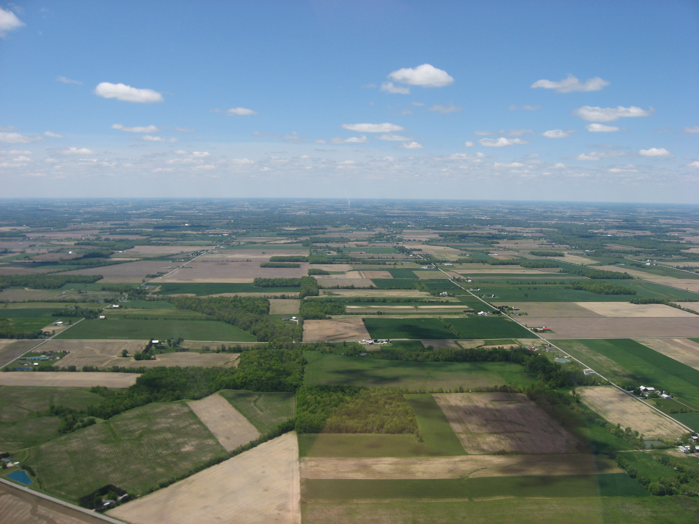
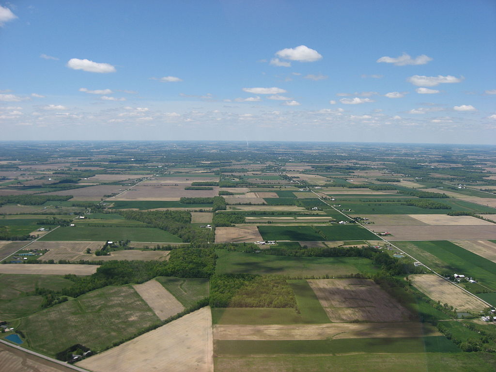
| Malongosolelo | Aerial view of southwestern Scipio Township, Seneca County, Ohio, United States, just southwest of Republic. Picture taken from a Diamond Eclipse light airplane at an altitude of 2,500 feet MSL and a bearing of approximately 270º. Diagonal road in bottom left corner is State Route 67. | ||
| Siku | Taken on 24 Meyi 2008 | ||
| Ukaboni | Chinthu chane | ||
| Mlembi | Nyttend | ||
| Chilolezo (Kugwiliskaso ntchito ichi) |
|
Mbili ya chinthu
Dofyani pa siku/nyengo kuti muone umo vikaonekela pa nyengo iyo.
| Siku/Nyengo | Kachithuzi | Vipimo | Mgwiliski | Ganizo | |
|---|---|---|---|---|---|
| sono | 21:30, 15 Ogasiti 2008 | | 2,816 × 2,112 (2.17 MB) | Nyttend | {{Information |Description=Aerial view of southwestern {{w|Scipio Township, Seneca County, Ohio|Scipio Township}}, {{w|Seneca County, Ohio|Seneca County}}, {{w|Ohio}}, {{w|United States}}, just southwest of {{w|Republic, Ohio|Republic}}. Picture taken fr |
Magwiliskilo ntchito
The following page uses this file:
Umo chinthu chagwiliskikila ntchito
Ma wiki ghanyake agho ghakugwiliska ichi:
- Magwiliskilo pa ca.wikipedia.org
- Magwiliskilo pa en.wikipedia.org
- Magwiliskilo pa es.wikipedia.org
- Magwiliskilo pa eu.wikipedia.org
- Magwiliskilo pa fa.wikipedia.org
- Magwiliskilo pa he.wikipedia.org
- Magwiliskilo pa hy.wikipedia.org
- Magwiliskilo pa pt.wikipedia.org
- Magwiliskilo pa uk.wikipedia.org
- Magwiliskilo pa vi.wikipedia.org
- Magwiliskilo pa www.wikidata.org
- Magwiliskilo pa zh.wikipedia.org