
File:Nigeria location map.svg

Size of this PNG preview of this SVG file: 779 × 599 pixels. Mu misani inyake: 312 × 240 pixels | 624 × 480 pixels | 998 × 768 pixels | 1,280 × 985 pixels | 2,560 × 1,970 pixels | 954 × 734 pixels.
Chinthu cha kwenekuko (SVG file, nominally 954 × 734 pixels, file size: 442 KB)
Location of Asare, Kalambaina and
Mwakudumula
| Malongosolelo |
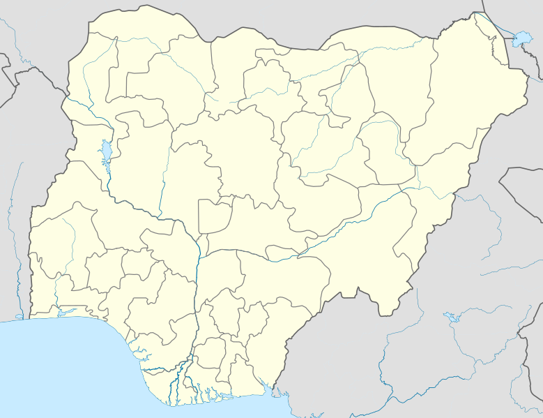
Deutsch: Positionskarte von Nigeria
Quadratische Plattkarte. Geographische Begrenzung der Karte:
English: Location map of Nigeria
Equirectangular projection. Geographic limits of the map:
|
| Siku | |
| Ukaboni | Chinthu chane (Original text: Own work, using UN-map of Nigeria No. 4228 from October 2004) |
| Mlembi | Uwe Dedering |
| SVG genesis |
Chilolezo
Uwe Dedering at German Wikipediya, the copyright holder of this work, hereby publishes it under the following licenses:

|
Chilolezo ntchakupelekeka pakupanga copy, kutandazga panj kusintha na malango gha GNU Free Documentation License, Version 1.2 or any later version published by the Free Software Foundation; with no Invariant Sections, no Front-Cover Texts, and no Back-Cover Texts. A copy of the license is included in the section entitled GNU Free Documentation License. |
This file is licensed under the Creative Commons Attribution 3.0 Unported license.
Attribution: Uwe Dedering at German Wikipediya
- Ndimwe ŵakuzomelezgeka:
- kugaŵa – kuti mutandazge, kugaŵa na kusintha ntchito
- kusazga – kusintha chito iyi
- Pa malango ghakulondezga agha:
- Viyambilo vya kuchita – Mukwenela kupeleka malumbo ghawemi, kupeleka linki yakutyonda ku chilolezo, kweneso yowoyaniso pala vinyake vyasintha. Mukwenela kuchita nthena mwakwenelela, kwambula kujikhalila khonde.
You may select the license of your choice.
This file is licensed under the Creative Commons Attribution-Share Alike 3.0 Germany license.
- Ndimwe ŵakuzomelezgeka:
- kugaŵa – kuti mutandazge, kugaŵa na kusintha ntchito
- kusazga – kusintha chito iyi
- Pa malango ghakulondezga agha:
- Viyambilo vya kuchita – Mukwenela kupeleka malumbo ghawemi, kupeleka linki yakutyonda ku chilolezo, kweneso yowoyaniso pala vinyake vyasintha. Mukwenela kuchita nthena mwakwenelela, kwambula kujikhalila khonde.
- mwa kugaŵana – Pala mwasazga panji mwasintha chinthu, mukwenela kuchitandazga

Original upload log
Transferred from de.wikipedia to Commons by Uwe Dedering.
The original description page was here. All following user names refer to de.wikipedia.
- 2010-02-10 11:43 Uwe Dedering 954×736× (181926 bytes) better coastline
- 2010-02-10 10:39 Uwe Dedering 954×736× (181888 bytes) some little mask errors
- 2010-02-09 18:24 Uwe Dedering 954×736× (184458 bytes) clipping does not work
- 2010-02-09 14:16 Uwe Dedering 990×765× (150899 bytes) {{Information |Beschreibung = |Quelle = |Urheber = |Datum = |Genehmigung = |Andere Versionen = |Anmerkungen = Tschad-See verändert }}
- 2010-02-09 12:51 Uwe Dedering 990×765× (148360 bytes) {{Information |Beschreibung = Deutsch: Positionskarte von Nigeria Quadratische Plattkarte. Geographische Begrenzung der Karte: * N: 14° N * S: 4° N * W: 2° O * O: 15° O English: Location map of Nigeria Equirectangular projection.
Mbili ya chinthu
Dofyani pa siku/nyengo kuti muone umo vikaonekela pa nyengo iyo.
| Siku/Nyengo | Kachithuzi | Vipimo | Mgwiliski | Ganizo | |
|---|---|---|---|---|---|
| sono | 14:57, 9 Disembala 2010 | | 954 × 734 (442 KB) | Uwe Dedering | better admin1 borders, less rivers |
| 20:55, 11 Febuluwale 2010 |  | 954 × 736 (182 KB) | Uwe Dedering | reeeeeally little corrections | |
| 12:56, 10 Febuluwale 2010 |  | 954 × 736 (178 KB) | Uwe Dedering | {{Information |Description={{de|Deutsch: Positionskarte von Nigeria Quadratische Plattkarte. Geographische Begrenzung der Karte: * N: 14° N * S: 4° N * W: 2° O * O: 15° O English: Location map of Nigeria Equirectangular projection. Geographic limits o |
Magwiliskilo ntchito
The following page uses this file:
Umo chinthu chagwiliskikila ntchito
Ma wiki ghanyake agho ghakugwiliska ichi:
- Magwiliskilo pa af.wikipedia.org
- Magwiliskilo pa als.wikipedia.org
- Magwiliskilo pa am.wikipedia.org
- Magwiliskilo pa an.wikipedia.org
- Magwiliskilo pa ar.wikipedia.org
- Magwiliskilo pa ast.wikipedia.org
- Magwiliskilo pa azb.wikipedia.org
Wonani magwiliskilo ghanandi ghapa charu gha chinthu ichi.