
File:Mexico Campeche location map.svg

Size of this PNG preview of this SVG file: 658 × 600 pixels. Mu misani inyake: 263 × 240 pixels | 527 × 480 pixels | 842 × 768 pixels | 1,123 × 1,024 pixels | 2,247 × 2,048 pixels | 1,109 × 1,011 pixels.
Chinthu cha kwenekuko (SVG file, nominally 1,109 × 1,011 pixels, file size: 769 KB)
W3C-validity not checked.
| Malongosolelo |
Deutsch: Positionskarte von Campeche
Quadratische Plattkarte
Español: Mapa de localización de Campeche en proyección equirectangular.
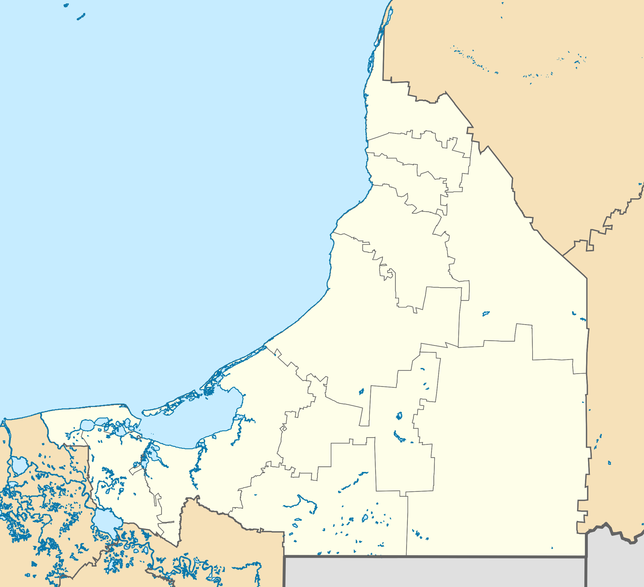
English: Location Map of Campeche
Equirectangular projection, Geographic limits of the map:
|
| Siku | |
| Ukaboni |
|
| Mlembi | Addicted04 |
Chilolezo
I, the copyright holder of this work, hereby publish it under the following licenses:
Chinthu ichi ntchakuzomelezgeka na Creative Commons Attribution-Share Alike 3.0 Unported license.
- Ndimwe ŵakuzomelezgeka:
- kugaŵa – kuti mutandazge, kugaŵa na kusintha ntchito
- kusazga – kusintha chito iyi
- Pa malango ghakulondezga agha:
- Viyambilo vya kuchita – Mukwenela kupeleka malumbo ghawemi, kupeleka linki yakutyonda ku chilolezo, kweneso yowoyaniso pala vinyake vyasintha. Mukwenela kuchita nthena mwakwenelela, kwambula kujikhalila khonde.
- mwa kugaŵana – Pala mwasazga panji mwasintha chinthu, mukwenela kuchitandazga

|
Chilolezo ntchakupelekeka pakupanga copy, kutandazga panj kusintha na malango gha GNU Free Documentation License, Version 1.2 or any later version published by the Free Software Foundation; with no Invariant Sections, no Front-Cover Texts, and no Back-Cover Texts. A copy of the license is included in the section entitled GNU Free Documentation License. |
You may select the license of your choice.
Mbili ya chinthu
Dofyani pa siku/nyengo kuti muone umo vikaonekela pa nyengo iyo.
| Siku/Nyengo | Kachithuzi | Vipimo | Mgwiliski | Ganizo | |
|---|---|---|---|---|---|
| sono | 23:50, 27 Epulelo 2015 | | 1,109 × 1,011 (769 KB) | Addicted04 | New map (INEGI, 2014) |
| 20:30, 31 Julayi 2011 |  | 1,108 × 931 (266 KB) | Addicted04 | Yucatan border | |
| 15:53, 16 Julayi 2011 |  | 1,108 × 931 (276 KB) | Battroid | {{ValidSVG}} {{Information |Description={{de|1=Positionskarte von Campeche Quadratische Plattkarte}} {{es|1=Mapa de localización de Campeche en proyección equirectangular.}} {{en|1=Location Map of [[:en:Ca | |
| 09:12, 16 Julayi 2011 |  | 1,108 × 931 (276 KB) | Battroid | {{ValidSVG}} {{Information |Description={{de|1=Positionskarte von Campeche Quadratische Plattkarte}} {{es|1=Mapa de localización de Campeche en proyección equirectangular.}} {{en|1=Location Map of [[:en:Ca | |
| 09:10, 16 Julayi 2011 |  | 1,108 × 931 (276 KB) | Battroid | {{ValidSVG}} {{Information |Description={{de|1=Positionskarte von Campeche Quadratische Plattkarte}} {{es|1=Mapa de localización de Campeche en proyección equirectangular.}} {{en|1=Location Map of [[:en:Ca | |
| 02:30, 10 Novembala 2009 |  | 1,108 × 931 (276 KB) | Addicted04 | Yucatan Border | |
| 01:04, 10 Novembala 2009 |  | 1,108 × 931 (212 KB) | Addicted04 | {{Information |Description={{en|1=Location Map of Campeche Equirectangular projection, Geographic limits of the map: * N: 20.75° N * S: 17.65° N * W: 92.80° W * E: 88.80° W}} |Source={{own}} |Author=Addicted04 |Dat |
Magwiliskilo ntchito
The following page uses this file:
Umo chinthu chagwiliskikila ntchito
Ma wiki ghanyake agho ghakugwiliska ichi:
- Magwiliskilo pa ar.wikipedia.org
- Magwiliskilo pa ba.wikipedia.org
- Magwiliskilo pa bg.wikipedia.org
- Magwiliskilo pa ceb.wikipedia.org
- Magwiliskilo pa ce.wikipedia.org
- Magwiliskilo pa cs.wikipedia.org
- Magwiliskilo pa de.wikipedia.org
- Campeche (Stadt)
- Ciudad del Carmen
- Wikipedia:Kartenwerkstatt/Positionskarten/Nordamerika
- Vorlage:Positionskarte Mexiko Campeche
- Edzná
- Cayos Arcas
- Isla del Carmen
- Isla Arena (Mexiko)
- Candelaria (Campeche)
- Palizada (Campeche)
- Hopelchén
- Champotón
- Isla Aguada
- Puente Zacatal
- Puente de la Unidad (Campeche)
- Sabancuy
- Magwiliskilo pa en.wikipedia.org
- Campeche (city)
- Escárcega
- Ciudad del Carmen
- Dzitbalché
- Bolonchén, Campeche
- Edzna
- Calakmul
- Ciudad del Carmen International Airport
- Campeche International Airport
- Xpujil
- Carmen Municipality
- Candelaria Municipality
- Hopelchén Municipality
- Hopelchén
- Tenabo
- Hecelchakán Municipality
- Module:Location map/data/Mexico Campeche/doc
- Champotón Municipality
- Module:Location map/data/Mexico Campeche
- 2018–19 Liga TDP season
- 2019–20 Liga TDP season
- 2020–21 Liga TDP season
- Dzitbalché Municipality
- 2017–18 Tercera División de México season
- 2016–17 Tercera División de México season
- Isla Aguada
Wonani magwiliskilo ghanandi ghapa charu gha chinthu ichi.