
File:Map of South Africa with Nelson Mandela Bay highlighted (2011).svg

Size of this PNG preview of this SVG file: 684 × 599 pixels. Mu misani inyake: 274 × 240 pixels | 548 × 480 pixels | 876 × 768 pixels | 1,168 × 1,024 pixels | 2,337 × 2,048 pixels | 809 × 709 pixels.
Chinthu cha kwenekuko (SVG file, nominally 809 × 709 pixels, file size: 485 KB)
.svg)
Mwakudumula
| Malongosolelo |
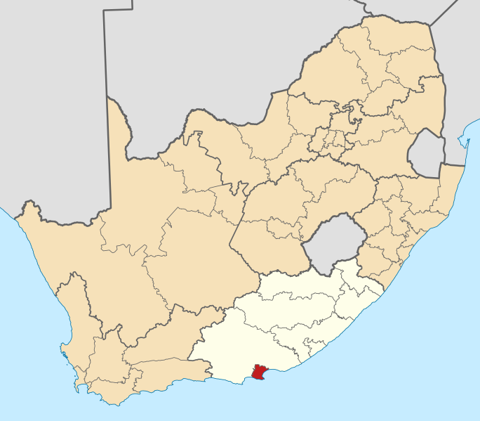
English: Map of district boundaries in South Africa, as they will be after the municipal elections of 18 May 2011, with the w:Nelson Mandela Bay Metropolitan Municipality highlighted in red within the Eastern Cape in yellow. |
| Siku | |
| Ukaboni | Chinthu chane |
| Mlembi | Htonl |
Chilolezo
I, the copyright holder of this work, hereby publish it under the following licenses:

|
Chilolezo ntchakupelekeka pakupanga copy, kutandazga panj kusintha na malango gha GNU Free Documentation License, Version 1.2 or any later version published by the Free Software Foundation; with no Invariant Sections, no Front-Cover Texts, and no Back-Cover Texts. A copy of the license is included in the section entitled GNU Free Documentation License. |
This file is licensed under the Creative Commons Attribution-Share Alike 4.0 International, 3.0 Unported, 2.5 Generic, 2.0 Generic and 1.0 Generic license.
- Ndimwe ŵakuzomelezgeka:
- kugaŵa – kuti mutandazge, kugaŵa na kusintha ntchito
- kusazga – kusintha chito iyi
- Pa malango ghakulondezga agha:
- Viyambilo vya kuchita – Mukwenela kupeleka malumbo ghawemi, kupeleka linki yakutyonda ku chilolezo, kweneso yowoyaniso pala vinyake vyasintha. Mukwenela kuchita nthena mwakwenelela, kwambula kujikhalila khonde.
- mwa kugaŵana – Pala mwasazga panji mwasintha chinthu, mukwenela kuchitandazga
You may select the license of your choice.
Mbili ya chinthu
Dofyani pa siku/nyengo kuti muone umo vikaonekela pa nyengo iyo.
| Siku/Nyengo | Kachithuzi | Vipimo | Mgwiliski | Ganizo | |
|---|---|---|---|---|---|
| sono | 13:56, 2 Meyi 2011 | | 809 × 709 (485 KB) | Htonl | == Summary == {{Information |Description ={{en|1=Map of district boundaries in South Africa, as they will be after the municipal elections of 18 May 2011, with the [[w:Nelson Mandela Bay Metropolitan Municip |
Magwiliskilo ntchito
The following page uses this file:
Umo chinthu chagwiliskikila ntchito
Ma wiki ghanyake agho ghakugwiliska ichi:
- Magwiliskilo pa af.wikipedia.org
- Magwiliskilo pa en.wikipedia.org
- Uitenhage
- Gqeberha
- New Brighton, Eastern Cape
- Redhouse, South Africa
- Template:Nelson Mandela Bay Metropolitan Municipality
- Despatch, South Africa
- Bethelsdorp
- Colchester, South Africa
- Ibhayi
- Motherwell, South Africa
- Swartkops
- Seaview, South Africa
- Beachview, South Africa
- Van Stadensriviermond
- Skoenmakerskop
- Kensington, Gqeberha
- KwaNobuhle
- Timeline of Port Elizabeth
- Magwiliskilo pa lv.wikipedia.org
- Magwiliskilo pa nso.wikipedia.org
Wonani magwiliskilo ghanandi ghapa charu gha chinthu ichi.
.svg)
.svg)