
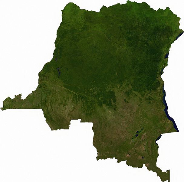
File:Dem congo sat.jpg

Saizi ya chakuona ichi: 608 × 600 pixels. Mu misani inyake: 243 × 240 pixels | 487 × 480 pixels | 779 × 768 pixels | 1,038 × 1,024 pixels | 2,293 × 2,261 pixels.
Chinthu cha kwenekuko (2,293 × 2,261 pixels, file size: 3.13 MB, MIME type: image/jpeg)
Mwakudumula
Raster data download July 12, 2006 from The Map Library: exported to TIFF format, and converted to JPEG via Paint.NET.
Chilolezo
| This file is in the public domain, because it was generated by a user, using free sources available at The Map Library.
Note that this does not include the maps in the Global Administrative Areas section of the homepage. |
Mbili ya chinthu
Dofyani pa siku/nyengo kuti muone umo vikaonekela pa nyengo iyo.
| Siku/Nyengo | Kachithuzi | Vipimo | Mgwiliski | Ganizo | |
|---|---|---|---|---|---|
| sono | 01:52, 13 Julayi 2006 | | 2,293 × 2,261 (3.13 MB) | Unquietwiki | == Summary == Raster data download July 12, 2006 from The Map Library: exported to TIFF format, and converted to JPEG via Paint.NET. == Licensing == {{PD-MapProject}} |
Magwiliskilo ntchito
The following page uses this file:
Umo chinthu chagwiliskikila ntchito
Ma wiki ghanyake agho ghakugwiliska ichi:
- Magwiliskilo pa af.wikipedia.org
- Magwiliskilo pa ar.wikipedia.org
- Magwiliskilo pa bg.wikipedia.org
- Magwiliskilo pa da.wikipedia.org
- Magwiliskilo pa en.wikipedia.org
- Magwiliskilo pa eo.wikipedia.org
- Magwiliskilo pa es.wikipedia.org
- Magwiliskilo pa fr.wikipedia.org
- Magwiliskilo pa hu.wikipedia.org
- Magwiliskilo pa hy.wikipedia.org
- Magwiliskilo pa ja.wikipedia.org
- Magwiliskilo pa ka.wikipedia.org
- Magwiliskilo pa mt.wikipedia.org
- Magwiliskilo pa pt.wikipedia.org
- Magwiliskilo pa sr.wikipedia.org
- Magwiliskilo pa trv.wikipedia.org
- Magwiliskilo pa uk.wikipedia.org
- Magwiliskilo pa zh.wikipedia.org