
File:Central African Republic location map.svg

Chinthu cha kwenekuko (SVG file, nominally 1,606 × 1,109 pixels, file size: 339 KB)
Mwakudumula
| Malongosolelo |
Deutsch: Positionskarte der Zentralafrikanischen Republik
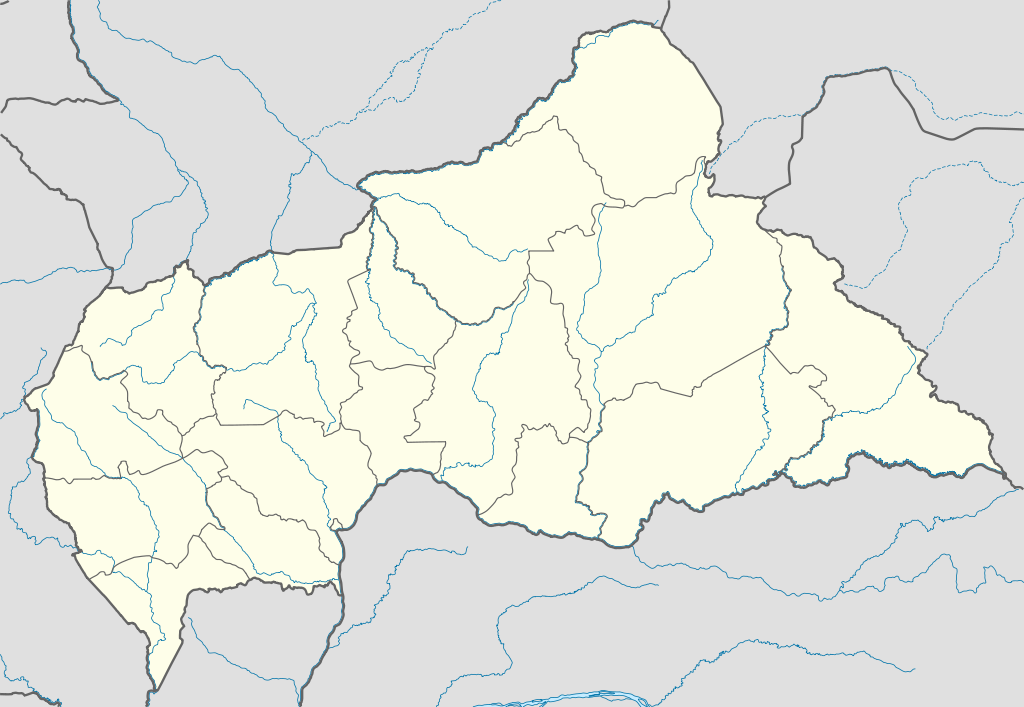
Quadratische Plattkarte, N-S-Streckung 101 %. Geographische Begrenzung der Karte:
English: Location map of the Central African Republic
Equirectangular projection, N/S stretching 101 %. Geographic limits of the map:
|
|
| Siku | ||
| Ukaboni |
Chinthu chane, using
|
|
| Mlembi | NordNordWest | |
| Chilolezo (Kugwiliskaso ntchito ichi) |
This file is licensed under the Creative Commons Attribution-Share Alike 3.0 Germany license.
 This file is licensed under the Creative Commons Attribution-Share Alike 3.0 Germany license.
|
|
| Other versions |
Derivative works of this file:
|


.svg)
.svg)
.svg)
.svg)
.svg)
.svg)
.svg)
.svg)
.svg)
.svg)
.svg)
.svg)
.svg)
.svg)
.svg)
.svg)

|
This map has been made or improved in the German Kartenwerkstatt (Map Lab). You can propose maps to improve as well.
|
Mbili ya chinthu
Dofyani pa siku/nyengo kuti muone umo vikaonekela pa nyengo iyo.
| Siku/Nyengo | Kachithuzi | Vipimo | Mgwiliski | Ganizo | |
|---|---|---|---|---|---|
| sono | 17:59, 10 Julayi 2011 | | 1,606 × 1,109 (339 KB) | NordNordWest | upd |
| 20:47, 5 Disembala 2009 |  | 1,606 × 1,110 (556 KB) | NordNordWest | =={{int:filedesc}}== {{Information |Description= {{de|Positionskarte der Zentralafrikanischen Republik}} Quadratische Plattkarte, N-S-Streckung 101 %. Geographische Begrenzung der Karte: * N: 11.3° N * S: 2.0° N * W: |
Magwiliskilo ntchito
The following page uses this file:
Umo chinthu chagwiliskikila ntchito
Ma wiki ghanyake agho ghakugwiliska ichi:
- Magwiliskilo pa af.wikipedia.org
- Magwiliskilo pa am.wikipedia.org
- Magwiliskilo pa an.wikipedia.org
- Magwiliskilo pa ar.wikipedia.org
- Magwiliskilo pa ast.wikipedia.org
- Magwiliskilo pa azb.wikipedia.org
- Magwiliskilo pa az.wikipedia.org
- Magwiliskilo pa be.wikipedia.org
- Magwiliskilo pa bg.wikipedia.org
- Magwiliskilo pa bn.wikipedia.org
- Magwiliskilo pa bs.wikipedia.org
- Magwiliskilo pa ceb.wikipedia.org
Wonani magwiliskilo ghanandi ghapa charu gha chinthu ichi.