
File:Brightwell Manor behind the church - geograph.org.uk - 2321856.jpg
Saizi ya chakuona ichi: 800 × 527 pixels. Mu misani inyake: 320 × 211 pixels | 640 × 422 pixels | 1,024 × 674 pixels | 1,500 × 988 pixels.
Chinthu cha kwenekuko (1,500 × 988 pixels, file size: 308 KB, MIME type: image/jpeg)
Mwakudumula
| Malongosolelo |
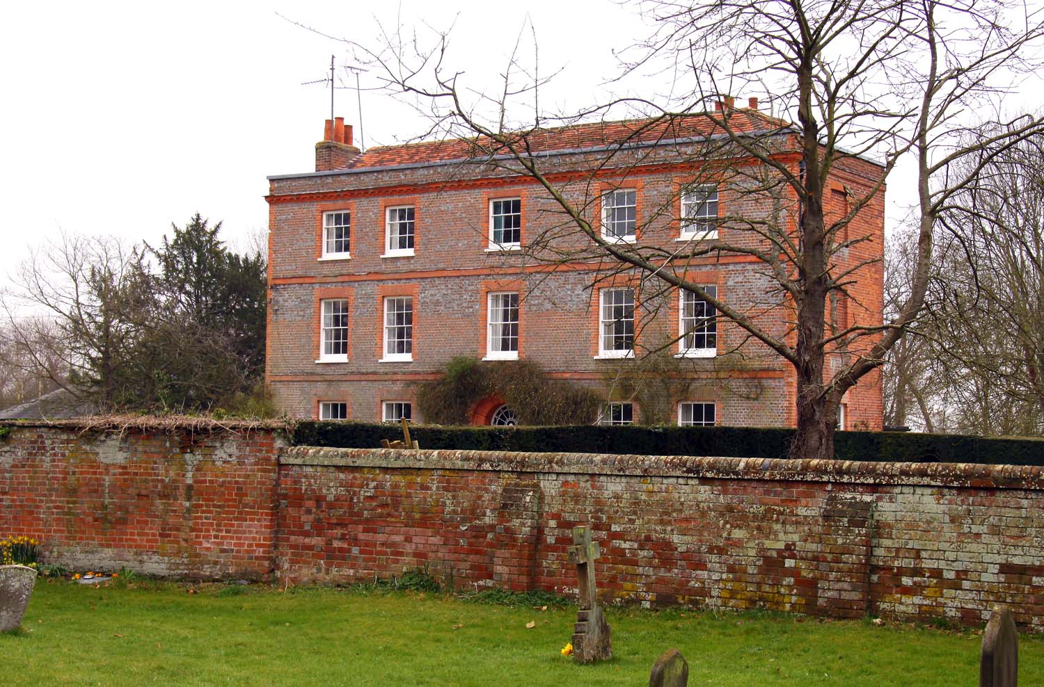
English: Brightwell Manor behind the church |
| Depicts | house, Brightwell-cum-Sotwell |
| Siku |
|
| Ukaboni |
Geograph Britain and Ireland |
| Mlembi |
Steve Daniels |
| Location of creation | Brightwell-cum-Sotwell |
| Camera location | | View this and other nearby images on: OpenStreetMap |
|---|
| Object location | | View this and other nearby images on: OpenStreetMap |
|---|
Chilolezo

|
This image was taken from the Geograph project collection. See this photograph's page on the Geograph website for the photographer's contact details. The copyright on this image is owned by Steve Daniels
|
This file is licensed under the Creative Commons Attribution-Share Alike 2.0 Generic license.
Attribution: Brightwell Manor behind the church by Steve Daniels
- Ndimwe ŵakuzomelezgeka:
- kugaŵa – kuti mutandazge, kugaŵa na kusintha ntchito
- kusazga – kusintha chito iyi
- Pa malango ghakulondezga agha:
- Viyambilo vya kuchita – Mukwenela kupeleka malumbo ghawemi, kupeleka linki yakutyonda ku chilolezo, kweneso yowoyaniso pala vinyake vyasintha. Mukwenela kuchita nthena mwakwenelela, kwambula kujikhalila khonde.
- mwa kugaŵana – Pala mwasazga panji mwasintha chinthu, mukwenela kuchitandazga
Mbili ya chinthu
Dofyani pa siku/nyengo kuti muone umo vikaonekela pa nyengo iyo.
| Siku/Nyengo | Kachithuzi | Vipimo | Mgwiliski | Ganizo | |
|---|---|---|---|---|---|
| sono | 16:26, 12 Julayi 2021 | | 1,500 × 988 (308 KB) | GeographBot | Uploading geograph.org.uk image from https://www.geograph.org.uk/photo/2321856 |
Magwiliskilo ntchito
The following page uses this file:
Umo chinthu chagwiliskikila ntchito
Ma wiki ghanyake agho ghakugwiliska ichi:
- Magwiliskilo pa da.wikipedia.org
- Magwiliskilo pa en.wikipedia.org
- Magwiliskilo pa www.wikidata.org