
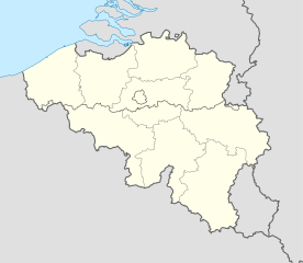
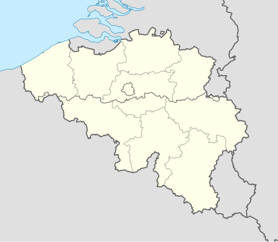
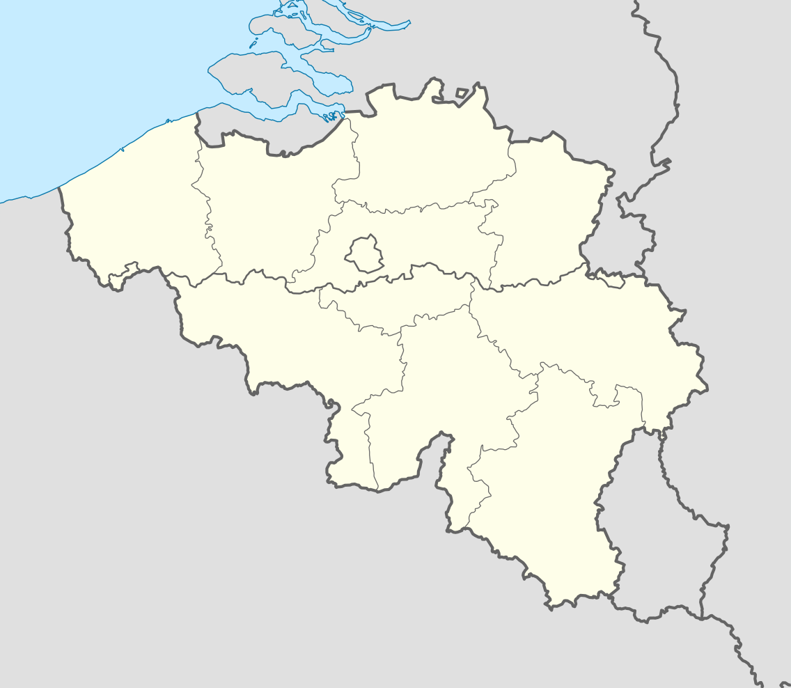
File:Belgium location map.svg

Size of this PNG preview of this SVG file: 689 × 599 pixels. Mu misani inyake: 276 × 240 pixels | 552 × 480 pixels | 883 × 768 pixels | 1,177 × 1,024 pixels | 2,355 × 2,048 pixels | 1,136 × 988 pixels.
Chinthu cha kwenekuko (SVG file, nominally 1,136 × 988 pixels, file size: 120 KB)
Mwakudumula
| Malongosolelo |
Deutsch: Positionskarte von Belgien
Quadratische Plattkarte, N-S-Streckung 157,218 %. Geographische Begrenzung der Karte:
English: Location map of Belgium
Equirectangular projection, N/S stretching 157.218 %. Geographic limits of the map:
|
||
| Siku | |||
| Ukaboni | Chinthu chane (Original text: own work, using United States National Imagery and Mapping Agency data) | ||
| Mlembi | NordNordWest | ||
| Other versions |
Derivative works of this file: |
||
| SVG genesis | This locator map was created with Adobe Illustrator by NordNordWest.
|


_location.svg)
_location.svg)
_location.svg)
_location.svg)
Chilolezo
I, the copyright holder of this work, hereby publish it under the following licenses:

|
Chilolezo ntchakupelekeka pakupanga copy, kutandazga panj kusintha na malango gha GNU Free Documentation License, Version 1.2 or any later version published by the Free Software Foundation; with no Invariant Sections, no Front-Cover Texts, and no Back-Cover Texts. A copy of the license is included in the section entitled GNU Free Documentation License. |
Chinthu ichi ntchakuzomelezgeka na Creative Commons Attribution-Share Alike 3.0 Unported license.
- Ndimwe ŵakuzomelezgeka:
- kugaŵa – kuti mutandazge, kugaŵa na kusintha ntchito
- kusazga – kusintha chito iyi
- Pa malango ghakulondezga agha:
- Viyambilo vya kuchita – Mukwenela kupeleka malumbo ghawemi, kupeleka linki yakutyonda ku chilolezo, kweneso yowoyaniso pala vinyake vyasintha. Mukwenela kuchita nthena mwakwenelela, kwambula kujikhalila khonde.
- mwa kugaŵana – Pala mwasazga panji mwasintha chinthu, mukwenela kuchitandazga
You may select the license of your choice.
Mbili ya chinthu
Dofyani pa siku/nyengo kuti muone umo vikaonekela pa nyengo iyo.
| Siku/Nyengo | Kachithuzi | Vipimo | Mgwiliski | Ganizo | |
|---|---|---|---|---|---|
| sono | 18:26, 23 Sekutembala 2010 | | 1,136 × 988 (120 KB) | NordNordWest | upd |
| 18:42, 25 Ogasiti 2008 |  | 1,136 × 945 (159 KB) | NordNordWest | size correction | |
| 19:01, 9 Julayi 2008 |  | 379 × 315 (156 KB) | NordNordWest | {{Information |Description= {{de|Positionskarte von Belgien}} Quadratische Plattkarte, N-S-Streckung 150 %. Geographische Begrenzung der Karte: * N: 51.8° N * S: 49.2° N * W: 2.2° O * O: 6.9° O {{en|Location map of [[:en:Belgium|Belgiu |
Magwiliskilo ntchito
The following 3 pages use this file:
Umo chinthu chagwiliskikila ntchito
Ma wiki ghanyake agho ghakugwiliska ichi:
- Magwiliskilo pa ar.wikipedia.org
- Magwiliskilo pa av.wikipedia.org
- Magwiliskilo pa azb.wikipedia.org
- Magwiliskilo pa ban.wikipedia.org
- Magwiliskilo pa be.wikimedia.org
- Wiki Loves Monuments/website/Photo tour 28 September 2014/lb
- Wiki Loves Monuments/website/Photo tour 28 September 2014/fr
- Wiki Loves Monuments/website/Photo tour 28 September 2014/de
- Wiki Loves Monuments/website/Photo tour 28 September 2014/nl
- Wiki Loves Monuments/website/Photo tour 28 September 2014
- Uitnodiging voor de fototocht Wiki Takes... Leuven op 28 september 2014
- Invitation to the photo tour Wiki Takes... Leuven on 28 September 2014
- Invitation balade photographique Wiki Takes... Louvain, le 28 Septembre 2014
- Magwiliskilo pa bn.wikipedia.org
- Magwiliskilo pa bs.wikipedia.org
- Magwiliskilo pa ca.wikipedia.org
- Magwiliskilo pa ceb.wikipedia.org
Wonani magwiliskilo ghanandi ghapa charu gha chinthu ichi.