
File:Africa map no countries.svg

Size of this PNG preview of this SVG file: 635 × 600 pixels. Mu misani inyake: 254 × 240 pixels | 508 × 480 pixels | 813 × 768 pixels | 1,084 × 1,024 pixels | 2,169 × 2,048 pixels | 1,525 × 1,440 pixels.
Chinthu cha kwenekuko (SVG file, nominally 1,525 × 1,440 pixels, file size: 499 KB)
| Malongosolelo |
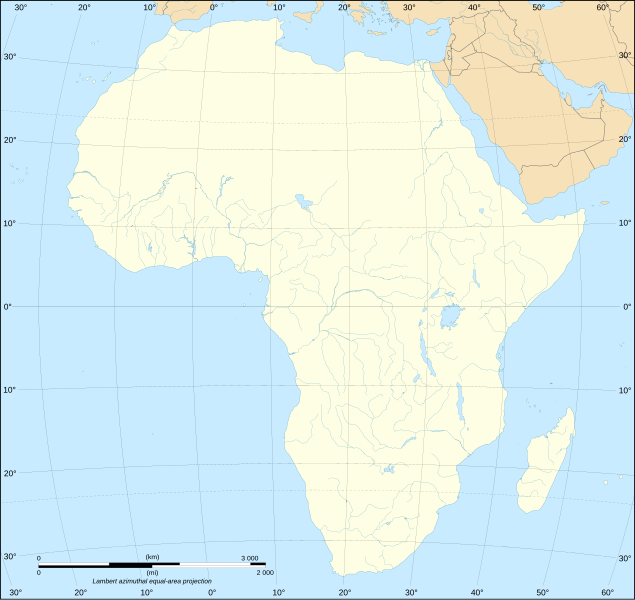
English: Blank map of the African continent. Français : Carte vierge du continent africain. Lambert azimutal equal-area projection, WGS84 datum, standard meridian: 15°E, standard parallel: 0°Scale: 1:15,000,000 (accuracy: 3,75 km) |
| Siku | (UTC) |
| Ukaboni | |
| Mlembi |
|
| Other versions |
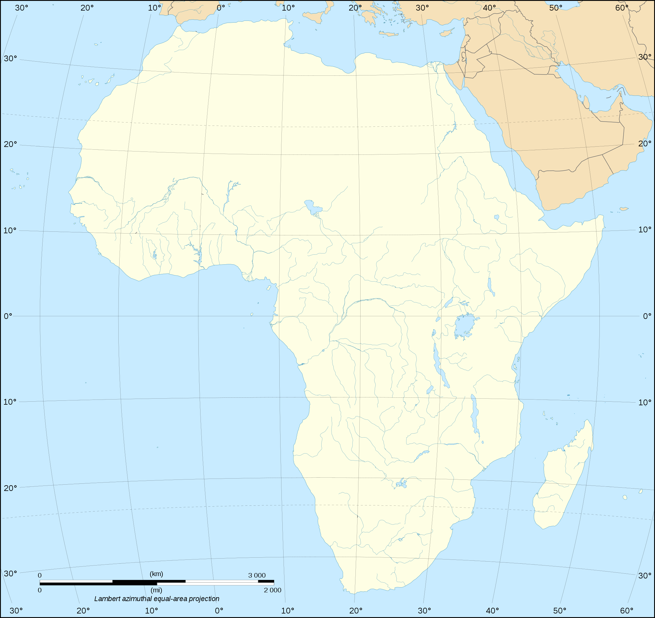
Derivative works of this file: Africa slave Regions.svg
[]
|


| This is a retouched picture, which means that it has been digitally altered from its original version. Modifications: Removed national borders. The original can be viewed here: Africa map blank.svg:
|
I, the copyright holder of this work, hereby publish it under the following licenses:
This file is licensed under the Creative Commons Attribution-Share Alike 2.5 Generic, 2.0 Generic and 1.0 Generic license.
- Ndimwe ŵakuzomelezgeka:
- kugaŵa – kuti mutandazge, kugaŵa na kusintha ntchito
- kusazga – kusintha chito iyi
- Pa malango ghakulondezga agha:
- Viyambilo vya kuchita – Mukwenela kupeleka malumbo ghawemi, kupeleka linki yakutyonda ku chilolezo, kweneso yowoyaniso pala vinyake vyasintha. Mukwenela kuchita nthena mwakwenelela, kwambula kujikhalila khonde.
- mwa kugaŵana – Pala mwasazga panji mwasintha chinthu, mukwenela kuchitandazga
| Chinthu ichi ntchakuzomelezgeka na Creative Commons Attribution-Share Alike 3.0 Unported license. | ||
na dango la same or compatible license nga ntchiphya. | ||
| This licensing tag was added to this file as part of the GFDL licensing update. |

|
Chilolezo ntchakupelekeka pakupanga copy, kutandazga panj kusintha na malango gha GNU Free Documentation License, Version 1.2 or any later version published by the Free Software Foundation; with no Invariant Sections, no Front-Cover Texts, and no Back-Cover Texts. A copy of the license is included in the section entitled GNU Free Documentation License. |
You may select the license of your choice.
Original upload log
This image is a derivative work of the following images:
- File:Africa_map_blank.svg licensed with Cc-by-sa-2.5,2.0,1.0, Cc-by-sa-3.0-migrated, GFDL
- 2009-01-10T20:36:44Z Sting 1525x1440 (710059 Bytes) Detail correction
- 2008-06-27T03:34:58Z Sting 1525x1440 (711453 Bytes) Completely new drawing with known projection
- 2006-05-31T15:28:42Z Sting 1390x1295 (571519 Bytes) Enhanced version : African and Asian continents separated
- 2006-05-31T03:53:32Z Sting 1390x1295 (566642 Bytes) {{Information |Description=Blank vector graphic map of [[:Category:Maps of Africa|Africa]] |Source=Several bitmap-type maps |Date= May 2006 |Author= Eric Gaba ([[User:Sting|Sting]]) |Permission=GFDL or CC-BY-SA |other_version
Uploaded with derivativeFX
Mbili ya chinthu
Dofyani pa siku/nyengo kuti muone umo vikaonekela pa nyengo iyo.
| Siku/Nyengo | Kachithuzi | Vipimo | Mgwiliski | Ganizo | |
|---|---|---|---|---|---|
| sono | 18:28, 10 Malichi 2010 | | 1,525 × 1,440 (499 KB) | Zscout370 | {{Information |Description={{en|Blank map of the African continent.}} {{fr|Carte vierge du continent africain.}} Lambert azimutal equal-area projection, WGS84 datum, standard meridian: 15°E, stand |
Magwiliskilo ntchito
Palije majani agho ghogwiliska chinthu ichi.
Umo chinthu chagwiliskikila ntchito
Ma wiki ghanyake agho ghakugwiliska ichi:
- Magwiliskilo pa en.wikipedia.org
- Magwiliskilo pa fr.wikipedia.org
- Magwiliskilo pa ja.wikipedia.org
- Magwiliskilo pa ko.wikipedia.org
- Magwiliskilo pa ru.wikipedia.org