
File:Africa map blank.svg

Size of this PNG preview of this SVG file: 635 × 600 pixels. Mu misani inyake: 254 × 240 pixels | 508 × 480 pixels | 813 × 768 pixels | 1,084 × 1,024 pixels | 2,169 × 2,048 pixels | 1,525 × 1,440 pixels.
Chinthu cha kwenekuko (SVG file, nominally 1,525 × 1,440 pixels, file size: 682 KB)
Mwakudumula
| Malongosolelo |
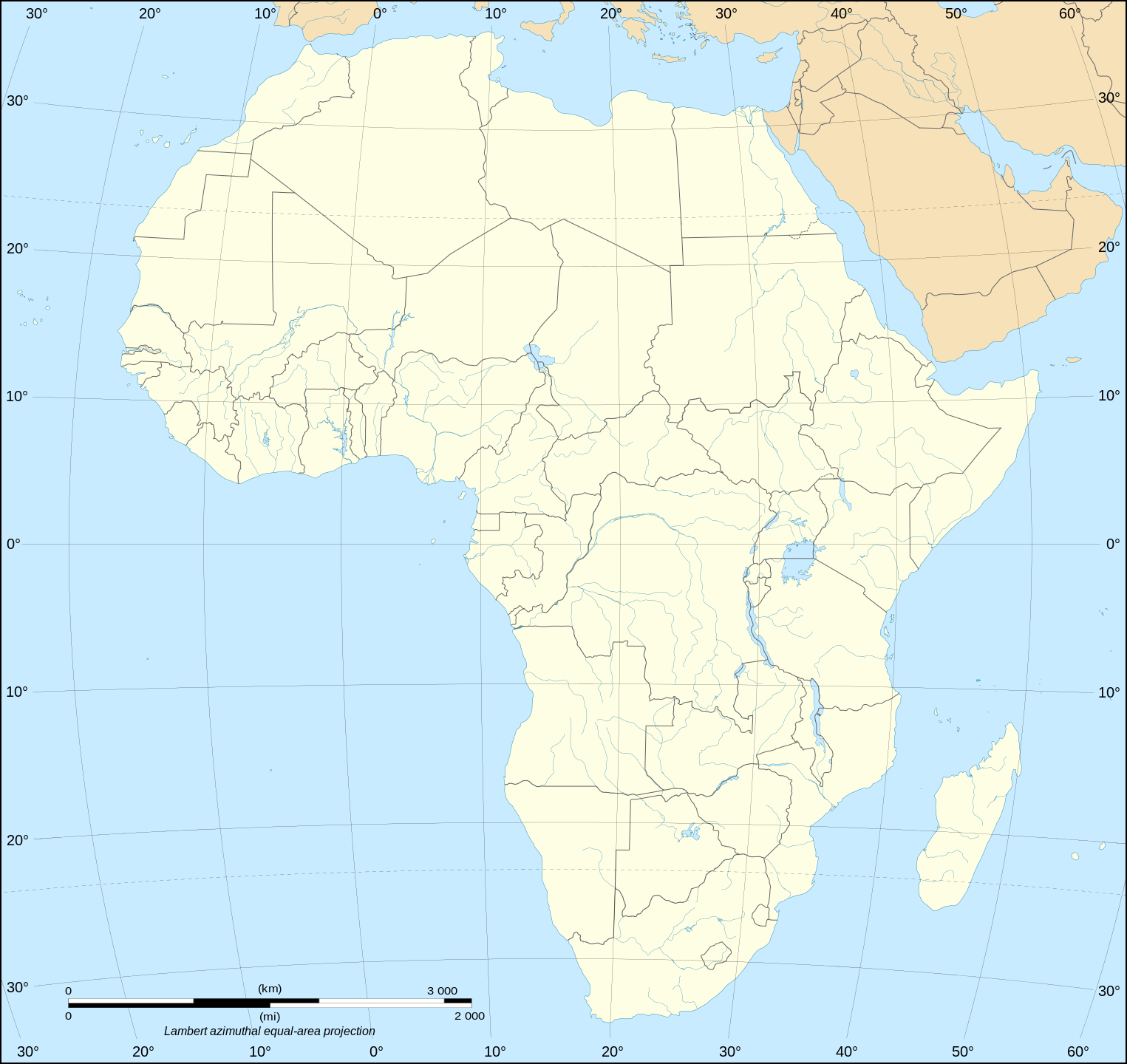
English: Political map of the African continent as in 2011-07.
Français : Carte politique du continent africain tel qu'en 07/2011.
Lambert azimutal equal-area projection, WGS84 datum, standard meridian: 15°E, standard parallel: 0° |
||
| Siku | May 2006 (June 2008 for the new version) | ||
| Ukaboni |
Own work
|
||
| Mlembi | Eric Gaba (Sting - fr:Sting) | ||
| Chilolezo (Kugwiliskaso ntchito ichi) |
|
||
| Other versions |
Derivative works of this file:
[]
|


Chilolezo
I, the copyright holder of this work, hereby publish it under the following licenses:

|
Chilolezo ntchakupelekeka pakupanga copy, kutandazga panj kusintha na malango gha GNU Free Documentation License, Version 1.2 or any later version published by the Free Software Foundation; with no Invariant Sections, no Front-Cover Texts, and no Back-Cover Texts. A copy of the license is included in the section entitled GNU Free Documentation License. |
| Chinthu ichi ntchakuzomelezgeka na Creative Commons Attribution-Share Alike 3.0 Unported license. | ||
na dango la same or compatible license nga ntchiphya. | ||
| This licensing tag was added to this file as part of the GFDL licensing update. |
This file is licensed under the Creative Commons Attribution-Share Alike 2.5 Generic, 2.0 Generic and 1.0 Generic license.
- Ndimwe ŵakuzomelezgeka:
- kugaŵa – kuti mutandazge, kugaŵa na kusintha ntchito
- kusazga – kusintha chito iyi
- Pa malango ghakulondezga agha:
- Viyambilo vya kuchita – Mukwenela kupeleka malumbo ghawemi, kupeleka linki yakutyonda ku chilolezo, kweneso yowoyaniso pala vinyake vyasintha. Mukwenela kuchita nthena mwakwenelela, kwambula kujikhalila khonde.
- mwa kugaŵana – Pala mwasazga panji mwasintha chinthu, mukwenela kuchitandazga
You may select the license of your choice.
Mbili ya chinthu
Dofyani pa siku/nyengo kuti muone umo vikaonekela pa nyengo iyo.
| Siku/Nyengo | Kachithuzi | Vipimo | Mgwiliski | Ganizo | |
|---|---|---|---|---|---|
| sono | 19:50, 14 Julayi 2011 | | 1,525 × 1,440 (682 KB) | Sting | Sudan/South Sudan 2011-07 border update |
| 20:36, 10 Janyuwale 2009 |  | 1,525 × 1,440 (693 KB) | Sting | Detail correction | |
| 03:34, 27 Juni 2008 |  | 1,525 × 1,440 (695 KB) | Sting | Completely new drawing with known projection | |
| 15:28, 31 Meyi 2006 |  | 1,390 × 1,295 (558 KB) | Sting | Enhanced version : African and Asian continents separated | |
| 03:53, 31 Meyi 2006 |  | 1,390 × 1,295 (553 KB) | Sting | {{Information |Description=Blank vector graphic map of Africa |Source=Several bitmap-type maps |Date= May 2006 |Author= Eric Gaba (Sting) |Permission=GFDL or CC-BY-SA |other_versions= }} ---- {{fr}} * '''Suj |
Magwiliskilo ntchito
Palije majani agho ghogwiliska chinthu ichi.
Umo chinthu chagwiliskikila ntchito
Ma wiki ghanyake agho ghakugwiliska ichi:
- Magwiliskilo pa el.wikipedia.org
- Magwiliskilo pa en.wikipedia.org
- Magwiliskilo pa es.wikipedia.org
- Magwiliskilo pa fr.wikipedia.org
- Liste des mammifères en république démocratique du Congo
- Liste des mammifères en Algérie
- Liste des mammifères à Sao Tomé-et-Principe
- Liste des mammifères aux Comores
- Liste des mammifères aux îles Éparses de l'océan Indien
- Modèle:Palette Mammifères en Afrique
- Liste des mammifères à La Réunion
- Liste des mammifères à Mayotte
- Liste des mammifères au Maroc
- Modèle:Palette Poissons en Afrique
- Liste des mammifères au Bénin
- Liste des mammifères en Guinée
- Liste des mammifères en Côte d'Ivoire
- Magwiliskilo pa ro.wikipedia.org
- Magwiliskilo pa uk.wikipedia.org