
File:Aïn Témouchent communes de la wilaya.png
Saizi ya chakuona ichi: 800 × 546 pixels. Mu misani inyake: 320 × 219 pixels | 640 × 437 pixels | 1,024 × 699 pixels | 1,280 × 874 pixels | 2,000 × 1,366 pixels.
Chinthu cha kwenekuko (2,000 × 1,366 pixels, file size: 131 KB, MIME type: image/png)
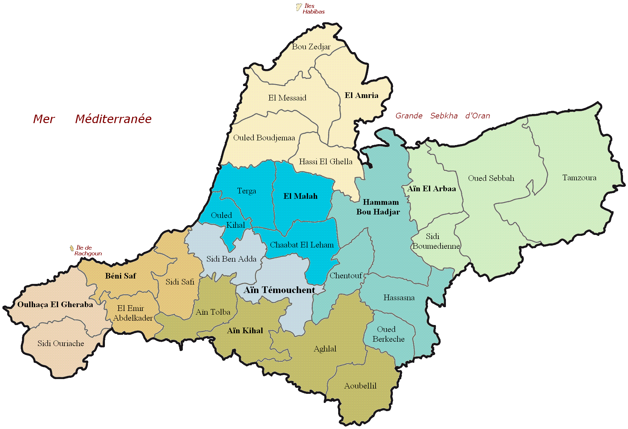
| Malongosolelo | Carte administrative de la wilaya d'Aïn Témouchent |
| Siku | (UTC) |
| Ukaboni | |
| Mlembi |
|
_map.svg)
| This is a retouched picture, which means that it has been digitally altered from its original version. Modifications: Nom des communes de la wilaya d'Aïn Témouchent. The original can be viewed here: Dz - Wilaya de Aïn Témouchent (46) map.svg:
|
I, the copyright holder of this work, hereby publish it under the following licenses:
This file is licensed under the Creative Commons Attribution-Share Alike 3.0 Unported, 2.5 Generic, 2.0 Generic and 1.0 Generic license.
- Ndimwe ŵakuzomelezgeka:
- kugaŵa – kuti mutandazge, kugaŵa na kusintha ntchito
- kusazga – kusintha chito iyi
- Pa malango ghakulondezga agha:
- Viyambilo vya kuchita – Mukwenela kupeleka malumbo ghawemi, kupeleka linki yakutyonda ku chilolezo, kweneso yowoyaniso pala vinyake vyasintha. Mukwenela kuchita nthena mwakwenelela, kwambula kujikhalila khonde.
- mwa kugaŵana – Pala mwasazga panji mwasintha chinthu, mukwenela kuchitandazga

|
Chilolezo ntchakupelekeka pakupanga copy, kutandazga panj kusintha na malango gha GNU Free Documentation License, Version 1.2 or any later version published by the Free Software Foundation; with no Invariant Sections, no Front-Cover Texts, and no Back-Cover Texts. A copy of the license is included in the section entitled GNU Free Documentation License. |
You may select the license of your choice.
Original upload log
This image is a derivative work of the following images:
- File:Dz_-_Wilaya_de_Aïn_Témouchent_(46)_map.svg licensed with Cc-by-sa-3.0,2.5,2.0,1.0, GFDL
- 2011-02-18T20:41:43Z Indif 1272x869 (221159 Bytes)
Uploaded with derivativeFX
Original upload log
| Siku/Nyengo | Vipimo | Mgwiliski | Ganizo |
|---|---|---|---|
| 19 Febuluwale 2011, 11:21:49 | 2000 × 1366 (168969 bytes) | Tmouchentois (pakuchezgela · Volemba) | {{Information |Description=Daïra de la wilaya de Tizi-Ouzou |Source=*[[:File:Dz_-_Wilaya_de_Aïn_Témouchent_(46)_map.svg|]] |Date=2011-02-19 11:17 (UTC) |Author=*[[:File:Dz_-_Wilaya_de_Aïn_Témouchent_(46)_map.svg|]]: Indif *derivative work: ~~~ |Permi |
Mbili ya chinthu
Dofyani pa siku/nyengo kuti muone umo vikaonekela pa nyengo iyo.
| Siku/Nyengo | Kachithuzi | Vipimo | Mgwiliski | Ganizo | |
|---|---|---|---|---|---|
| sono | 11:55, 21 Ogasiti 2014 | | 2,000 × 1,366 (131 KB) | GifTagger | Bot: Converting file to superior PNG file. (Source: Aïn_Témouchent_communes_de_la_wilaya.GIF). This GIF was problematic due to non-greyscale color table. |
Magwiliskilo ntchito
The following page uses this file:
Umo chinthu chagwiliskikila ntchito
Ma wiki ghanyake agho ghakugwiliska ichi:
- Magwiliskilo pa azb.wikipedia.org
- Magwiliskilo pa az.wikipedia.org
- Magwiliskilo pa ca.wikipedia.org
- Magwiliskilo pa ceb.wikipedia.org
- Magwiliskilo pa de.wikipedia.org
- Magwiliskilo pa en.wikipedia.org
- Magwiliskilo pa eo.wikipedia.org
- Magwiliskilo pa es.wikipedia.org
- Magwiliskilo pa eu.wikipedia.org
- Magwiliskilo pa fr.wikipedia.org
- Magwiliskilo pa gl.wikipedia.org
- Magwiliskilo pa ha.wikipedia.org
- Magwiliskilo pa ig.wikipedia.org
- Magwiliskilo pa ja.wikipedia.org
- Magwiliskilo pa kab.wikipedia.org
- Magwiliskilo pa no.wikipedia.org
- Magwiliskilo pa pl.wikipedia.org
- Magwiliskilo pa pt.wikipedia.org
- Magwiliskilo pa ro.wikipedia.org
- Magwiliskilo pa ru.wikipedia.org
- Magwiliskilo pa sco.wikipedia.org
- Magwiliskilo pa simple.wikipedia.org
- Magwiliskilo pa sr.wikipedia.org
- Magwiliskilo pa sv.wikipedia.org
- Magwiliskilo pa sw.wikipedia.org
- Magwiliskilo pa ts.wikipedia.org
- Magwiliskilo pa uk.wikipedia.org
- Magwiliskilo pa ur.wikipedia.org
- Magwiliskilo pa uz.wikipedia.org
- Magwiliskilo pa www.wikidata.org
- Magwiliskilo pa yo.wikipedia.org
- Magwiliskilo pa zu.wikipedia.org