
File:Mexico States blank map.svg

Size of this PNG preview of this SVG file: 800 × 523 pixels. Mu misani inyake: 320 × 209 pixels | 640 × 418 pixels | 1,024 × 669 pixels | 1,280 × 837 pixels | 2,560 × 1,673 pixels | 2,029 × 1,326 pixels.
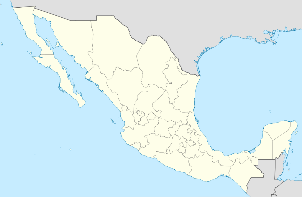
Chinthu cha kwenekuko (SVG file, nominally 2,029 × 1,326 pixels, file size: 473 KB)
Yolot hdz
Mwakudumula
| Malongosolelo | |
| Siku | |
| Ukaboni | Image:Mexico blank.svg by Yavidaxiu under licence GFDL. |
| Mlembi | Sémhur |
| Other versions |
Derivative works of this file: |
| Camera location | | View this and other nearby images on: OpenStreetMap |
|---|
W3C-validity not checked.
This W3C-unspecified vector image was created with Inkscape .
Chilolezo
I, the copyright holder of this work, hereby publish it under the following licenses:
| Copyleft: This work of art is free; you can redistribute it and/or modify it according to terms of the Free Art License. You will find a specimen of this license on the Copyleft Attitude site as well as on other sites. |
This file is licensed under the Creative Commons Attribution-Share Alike 4.0 International, 3.0 Unported, 2.5 Generic, 2.0 Generic and 1.0 Generic license.
- Ndimwe ŵakuzomelezgeka:
- kugaŵa – kuti mutandazge, kugaŵa na kusintha ntchito
- kusazga – kusintha chito iyi
- Pa malango ghakulondezga agha:
- Viyambilo vya kuchita – Mukwenela kupeleka malumbo ghawemi, kupeleka linki yakutyonda ku chilolezo, kweneso yowoyaniso pala vinyake vyasintha. Mukwenela kuchita nthena mwakwenelela, kwambula kujikhalila khonde.
- mwa kugaŵana – Pala mwasazga panji mwasintha chinthu, mukwenela kuchitandazga
You may select the license of your choice.
Mbili ya chinthu
Dofyani pa siku/nyengo kuti muone umo vikaonekela pa nyengo iyo.
| Siku/Nyengo | Kachithuzi | Vipimo | Mgwiliski | Ganizo | |
|---|---|---|---|---|---|
| sono | 15:41, 13 Ogasiti 2010 | | 2,029 × 1,326 (473 KB) | Kmusser | Try that again |
| 15:41, 13 Ogasiti 2010 |  | 975 × 654 (361 KB) | Kmusser | change projection to match that used at File:Mexico location map.svg so should be more accurate for pushpins, also reverted Yucatan boundary change to match Mexican government maps. | |
| 11:58, 25 Meyi 2009 |  | 975 × 654 (361 KB) | Sémhur | Modify border south between Quintana Roo and Campeche | |
| 08:31, 24 Meyi 2009 |  | 975 × 654 (361 KB) | Sémhur | Adding Yucatan states | |
| 12:57, 24 Sekutembala 2008 |  | 975 × 654 (330 KB) | Sémhur | new try | |
| 12:40, 24 Sekutembala 2008 |  | 975 × 654 (328 KB) | Sémhur | Thiner strokes | |
| 12:37, 24 Sekutembala 2008 |  | 975 × 654 (328 KB) | Sémhur | {{Information |Description= {{en|Map of Mexico, with states borders.}} {{es|Mapa de Mexico, con los límites de los estados.}} {{fr|Carte du Mexique, avec les limites des états.}} |Source=Travail personnel / Own work. Source : * [[:Image:Mexico blank.sv |
Magwiliskilo ntchito
The following 85 pages use this file:
- Acapulco
- Aguascalientes (msumba)
- Buenavista
- Campeche (msumba)
- Cancún
- Celaya
- Chalco
- Chetumal
- Chicoloapan
- Chihuahua (msumba)
- Chilpancingo
- Chimalhuacán
- Ciudad
- Ciudad Apodaca
- Ciudad Benito Juárez
- Ciudad López Mateos
- Ciudad Madero
- Ciudad Nicolás Romero
- Ciudad Obregón
- Ciudad Victoria
- Ciudad de México
- Coatzacoalcos
- Colima (msumba)
- Cuautitlán Izcalli
- Cuautla
- Cuernavaca
- Culiacán
- Durango (msumba)
- Ecatepec
- García
- General Escobedo
- Guadalupe
- Gómez Palacio
- Hermosillo
- Irapuato
- Ixtapaluca
- Jiutepec
- Los Mochis
- Manzanillo (México)
- Matamoros
- Mazatlán
- Minatitlán
- Miramar
- Monclova
- Mérida (Mexico)
- Naucalpan
- Nogales
- Nuevo Laredo
- Oaxaca (msumba)
- Ojo de Agua
- Pachuca
- Piedras Negras
- Playa del Carmen
- Poza Rica
- Puerto Vallarta
- Querétaro (msumba)
- Reynosa
- Salamanca (Mexico)
- Saltillo
- San Cristóbal de las Casas
- San Francisco Coacalco
- San Juan del Río
- San Luis Potosí (msumba)
- San Luis Río Colorado
- San Nicolás de los Garza
- San Pablo de las Salinas
- Santa Catarina
- Tampico
- Tapachula
- Tehuacán
- Tepic
- Tlalnepantla
- Tlaquepaque
- Toluca
- Tonalá
- Torreón
- Tuxtla Gutiérrez
- Uruapan
- Veracruz (msumba)
- Villa de Álvarez
- Villahermosa
- Xalapa
- Xico
- Zamora (Mexico)
- Module:Location map/data/Mexico/doc
Umo chinthu chagwiliskikila ntchito
Ma wiki ghanyake agho ghakugwiliska ichi:
- Magwiliskilo pa af.wikipedia.org
- Magwiliskilo pa am.wikipedia.org
- Magwiliskilo pa ar.wikipedia.org
- Magwiliskilo pa ast.wikipedia.org
- Magwiliskilo pa azb.wikipedia.org
- Magwiliskilo pa ban.wikipedia.org
- Magwiliskilo pa bcl.wikipedia.org
- Magwiliskilo pa bn.wikipedia.org
- Magwiliskilo pa bs.wikipedia.org
- Magwiliskilo pa ca.wikipedia.org
Wonani magwiliskilo ghanandi ghapa charu gha chinthu ichi.