
File:Map of Georgia highlighting Crawford County.svg

Size of this PNG preview of this SVG file: 517 × 599 pixels. Mu misani inyake: 207 × 240 pixels | 414 × 480 pixels | 663 × 768 pixels | 884 × 1,024 pixels | 1,767 × 2,048 pixels | 4,437 × 5,142 pixels.
Chinthu cha kwenekuko (SVG file, nominally 4,437 × 5,142 pixels, file size: 432 KB)
Mwakudumula
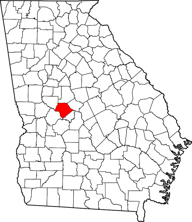
| Malongosolelo | This is a locator map showing Crawford County in Georgia. For more information, see Commons:United States county locator maps. |
| Ukaboni | Public domain map courtesy of The General Libraries, The University of Texas at Austin, modified to show counties. |
| Mlembi | David Benbennick made this map. |
Chilolezo
| I, the copyright holder of this work, release this work into the public domain. This applies worldwide. In some countries this may not be legally possible; if so: I grant anyone the right to use this work for any purpose, without any conditions, unless such conditions are required by law. |
Mbili ya chinthu
Dofyani pa siku/nyengo kuti muone umo vikaonekela pa nyengo iyo.
| Siku/Nyengo | Kachithuzi | Vipimo | Mgwiliski | Ganizo | |
|---|---|---|---|---|---|
| sono | 10:58, 12 Febuluwale 2006 | | 4,437 × 5,142 (432 KB) | David Benbennick | {{subst:User:Dbenbenn/clm|county=Crawford County|state=Georgia}} |
Magwiliskilo ntchito
The following page uses this file:
Umo chinthu chagwiliskikila ntchito
Ma wiki ghanyake agho ghakugwiliska ichi:
- Magwiliskilo pa ar.wikipedia.org
- Magwiliskilo pa bg.wikipedia.org
- Magwiliskilo pa bpy.wikipedia.org
- Magwiliskilo pa cdo.wikipedia.org
- Magwiliskilo pa ceb.wikipedia.org
- Magwiliskilo pa ce.wikipedia.org
- Magwiliskilo pa cy.wikipedia.org
- Magwiliskilo pa de.wikipedia.org
- Magwiliskilo pa en.wikipedia.org
- List of counties in Georgia
- Crawford County, Georgia
- Roberta, Georgia
- Knoxville, Georgia
- Musella, Georgia
- Template:Crawford County, Georgia
- User:Nyttend/County templates/GA/1
- Ceres, Georgia
- Category:Populated places in Crawford County, Georgia
- List of census-designated places in Georgia
- Zenith, Georgia
- Francisville, Georgia
- Gaillard, Georgia
- Hammett, Georgia
- Lee Pope, Georgia
- Magwiliskilo pa eo.wikipedia.org
- Magwiliskilo pa es.wikipedia.org
- Magwiliskilo pa et.wikipedia.org
- Magwiliskilo pa eu.wikipedia.org
- Magwiliskilo pa fa.wikipedia.org
- Magwiliskilo pa frr.wikipedia.org
- Magwiliskilo pa fr.wikipedia.org
- Magwiliskilo pa ga.wikipedia.org
- Magwiliskilo pa gl.wikipedia.org
- Magwiliskilo pa hu.wikipedia.org
- Magwiliskilo pa hy.wikipedia.org
- Magwiliskilo pa it.wikipedia.org
- Magwiliskilo pa ja.wikipedia.org
- Magwiliskilo pa ko.wikipedia.org
- Magwiliskilo pa la.wikipedia.org
- Magwiliskilo pa lg.wikipedia.org
- Magwiliskilo pa nds.wikipedia.org
- Magwiliskilo pa nl.wikipedia.org
- Magwiliskilo pa no.wikipedia.org
- Magwiliskilo pa pl.wikipedia.org
Wonani magwiliskilo ghanandi ghapa charu gha chinthu ichi.