
File:Location Germany EU Europe.png

Saizi ya chakuona ichi: 713 × 600 pixels. Mu misani inyake: 285 × 240 pixels | 571 × 480 pixels | 913 × 768 pixels | 1,218 × 1,024 pixels | 2,000 × 1,682 pixels.
Chinthu cha kwenekuko (2,000 × 1,682 pixels, file size: 555 KB, MIME type: image/png)
Mwakudumula
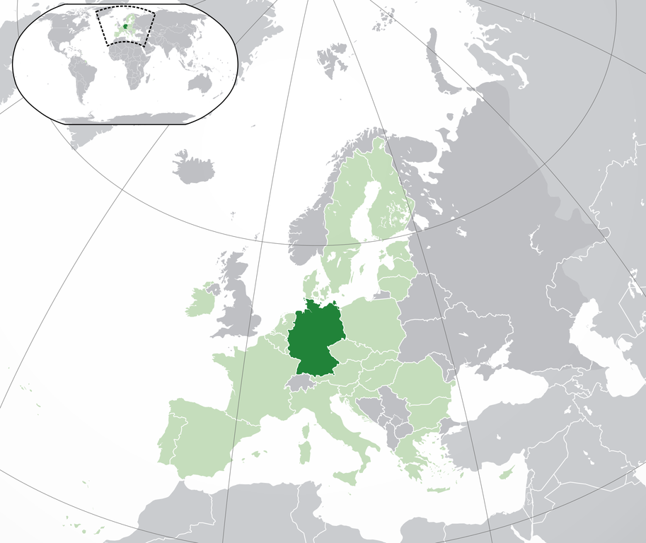
| Malongosolelo | Location map: Germany (dark green) / European Union (light green) / Europe (dark grey); inspired by and consistent with general country locator maps by User:Vardion, et al. | |||
| Siku | ||||
| Ukaboni | Chinthu chane | |||
| Mlembi | Quizimodo | |||
| Other versions |
|


Chilolezo
| This work has been released into the public domain by its author, I, Quizimodo. This applies worldwide. In some countries this may not be legally possible; if so: I, Quizimodo grants anyone the right to use this work for any purpose, without any conditions, unless such conditions are required by law. |
Mbili ya chinthu
Dofyani pa siku/nyengo kuti muone umo vikaonekela pa nyengo iyo.
| Siku/Nyengo | Kachithuzi | Vipimo | Mgwiliski | Ganizo | |
|---|---|---|---|---|---|
| sono | 18:23, 28 Julayi 2020 | | 2,000 × 1,682 (555 KB) | Maphobbyist | Update: UK left the EU |
| 17:51, 1 Okutobala 2014 |  | 2,056 × 1,710 (364 KB) | Maphobbyist | Update: Croatia | |
| 01:15, 18 Juni 2007 |  | 2,056 × 1,710 (175 KB) | Quizimodo~commonswiki | image (updated) | |
| 09:38, 17 Juni 2007 |  | 2,056 × 1,710 (227 KB) | Quizimodo~commonswiki | image (tweaked) | |
| 08:09, 17 Juni 2007 |  | 2,056 × 1,710 (226 KB) | Quizimodo~commonswiki | {{Information |Description=Location map: Germnay (dark green) / European Union (light green) / Europe (dark grey); inspired by and consistent with general country locator maps by User:Vardion, et al |Source=self-made |Date=17 June 2007 |Author= [[User:Qui |
Magwiliskilo ntchito
Palije majani agho ghogwiliska chinthu ichi.
Umo chinthu chagwiliskikila ntchito
Ma wiki ghanyake agho ghakugwiliska ichi:
- Magwiliskilo pa an.wikipedia.org
- Magwiliskilo pa ar.wikipedia.org
- Magwiliskilo pa ar.wikinews.org
- Magwiliskilo pa cs.wikipedia.org
- Magwiliskilo pa de.wiktionary.org
- Magwiliskilo pa en.wikipedia.org
- Magwiliskilo pa es.wikipedia.org
- Categoría:Baviera
- Categoría:Renania del Norte-Westfalia
- Categoría:Baden-Wurtemberg
- Categoría:Schleswig-Holstein
- Categoría:Sajonia
- Categoría:Renania-Palatinado
- Categoría:Mecklemburgo-Pomerania Occidental
- Categoría:Turingia
- Categoría:Sajonia-Anhalt
- Categoría:Hesse
- Categoría:Brandeburgo
- Categoría:Sarre
- Categoría:Baja Sajonia
- Categoría:Hamburgo
- Anexo:Embajadores de Honduras en Alemania
- Categoría:Bremen (estado)
- Magwiliskilo pa ga.wiktionary.org
- Magwiliskilo pa incubator.wikimedia.org
- Magwiliskilo pa ka.wikipedia.org
- Magwiliskilo pa krc.wikipedia.org
- Magwiliskilo pa lad.wikipedia.org
- Magwiliskilo pa myv.wikipedia.org
- Magwiliskilo pa new.wikipedia.org
- Magwiliskilo pa pag.wikipedia.org
- Magwiliskilo pa pam.wikipedia.org
- Magwiliskilo pa qu.wikipedia.org
- Magwiliskilo pa ro.wikipedia.org
- Magwiliskilo pa ro.wikibooks.org
- Magwiliskilo pa ru.wikipedia.org
- Magwiliskilo pa scn.wikipedia.org
- Magwiliskilo pa sv.wikipedia.org
- Magwiliskilo pa uk.wikivoyage.org
Wonani magwiliskilo ghanandi ghapa charu gha chinthu ichi.